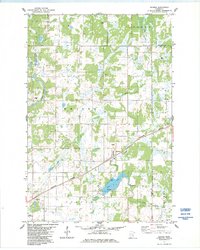
Old Maps of Comfort Township, Minnesota
Explore 32 old maps of Comfort Township, spanning from 1953 to today. These high-resolution historic maps reveal how streets, neighborhoods, landmarks, and natural features evolved over time — perfect for genealogy, metal detecting, research, and local history exploration.
What you can do with these maps:
- See how Comfort Township changed over time: Compare historical maps to modern-day views to trace roads, homesites, rail lines & more.
- View detailed metadata: Each map includes creators, publishers, year, scale, and archive source.
- Overlay maps with satellite & LiDAR: Visualize the past alongside modern tools to explore terrain & human change.
- Trusted historical sources: Maps sourced from the USGS, Library of Congress, and other archives.
- Access maps your way: View online, download high-res files, or order prints for personal or research use.
Start exploring old maps of Comfort Township to uncover forgotten places, hidden landmarks, and the deep history beneath your feet.
Comfort Township, MN maps
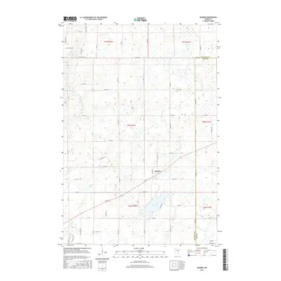
(32)- 1953 Map of Stillwater, 1980 Print
 1953 Stillwater1980 Print · USGSThe Twin Cities and the St. Croix Valley are captured in this mid-century survey as the interstate era began to transform the Upper Midwest. Genealogists and historians can trace the rail-and-river geography of Stillwater, locate landmarks in Anoka, or explore the sprawling St Croix State Park.
 - 1955 Map of Stillwater, 1965 Print
 1955 Stillwater1965 Print · USGSThe Upper St. Croix Valley and the growing Twin Cities area are shown here during the mid-fifties, before the interstate era transformed the regional commute. You can trace the lines of the Northern Pacific RR through towns like Rush City or locate the Saint Croix Indian Reservation.
 - 1958 Map of Stillwater
 1958 Stillwater1958 Print · USGSThe Upper Mississippi and St. Croix River valleys appear in the mid-fifties as the Twin Cities expanded north. Genealogists can locate family landmarks like Oak Park Cem, Saint Michael Church, and the Soo Line RR rail corridors.2 unique versions available
 - 1961 Map of Brook Park, 1963 Print
 1961 Brook Park1963 Print · USGSSettlements along the Great Northern railroad thrived in the early sixties as they served this stretch of Pine and Kanabec counties. Genealogists and historians can trace family locations near the Brook Park Cem, Grasston, and the St Gerard Mission House.2 unique versions available
 - 1965 Map of Stillwater
 1965 Stillwater1965 Print · USGSThe Twin Cities and the St. Croix Valley are mapped here during a period of significant post-war growth and industrial transit. Genealogists and historians can trace rail lines like the Northern Pacific RR through towns such as Rush City, Amery, and Balsam Lake.
 - 1968 Map of Mora North, 1970 Print
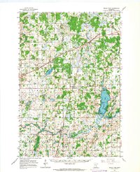
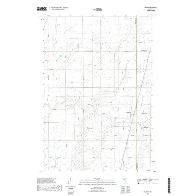
 1968 Mora North1970 Print · USGSKanabec County's lake country is captured here in the late sixties as the city of Mora expanded near the shores of Mora Lake. Researchers can locate family landmarks like Hillman Ch, the Knife Lake Cem, and the historic Indian Mounds Park along the water.2 unique versions available
 - 1968 Map of Mora South, 1970 Print
 1968 Mora South1970 Print · USGSThe Snake River valley in Kanabec County comes into focus in this late 1960s record of rural Minnesota life and industry. Genealogists and local historians can trace the foundations of Mora and Brunswick, locating family landmarks like St Marys Cem, Monroe Sch, and the Great Northern railroad tracks.2 unique versions available
 - 1975 Map of Stillwater
 1975 Stillwater1975 Print · USGSThe Twin Cities and the St. Croix Valley are captured in the mid-seventies, showing the urban growth of Minneapolis and St Paul. Researchers can trace old rail corridors of the Northern Pacific RR and locate tribal lands at the Mille Lacs Indian Reservation.2 unique versions available
 - 1983 Map of Grasston, 1984 Print
 1983 Grasston1984 Print · USGSEastern Kanabec and Pine counties are documented here in the early eighties as the railroad still anchored the community of Grasston. Family historians can locate specific burial sites at Grasston Union Cem and Grass Lake Cem or trace the winding Snake River.2 unique versions available
 - 1983 Map of Quamba, 1984 Print
 1983 Quamba1984 Print · USGSKanabec and Pine counties are captured in the early 1980s, showing a landscape defined by the Snake River and the Burlington Northern line. Trace local history through the Henriette Cem and find old landmarks like the northern Lookout Tower.
 - 1985 Map of Mora
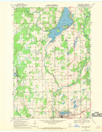
 1985 Mora1985 Print · USGSCentral Minnesota's river valleys and farming hubs are captured here in the mid-eighties, showing the region before significant modern expansion. Researchers can trace historic rail lines like the Burlington Northern and locate community landmarks in Mora, Milaca, and Princeton.
 - 1991 Map of Mora
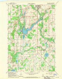
 1991 Mora1991 Print · USGSThe Rum River valley and central Minnesota lakelands are shown in great detail in the early 1990s. Genealogists and local historians can trace rural school locations, family cemeteries, and local landmarks like St. Marys Ch or the Municipal Airport in Mora.
 - 2010 Map of Mora South, 2010 Print
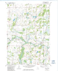
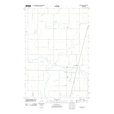
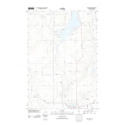
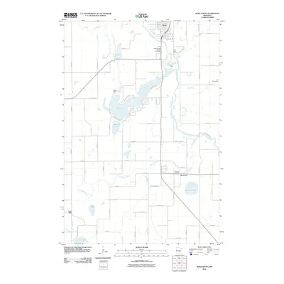 2010 Mora South2010 Print · USGSCovers Comfort Township, including Mora, Brunswick, and other nearby areas
 - 2010 Map of Quamba, 2010 Print
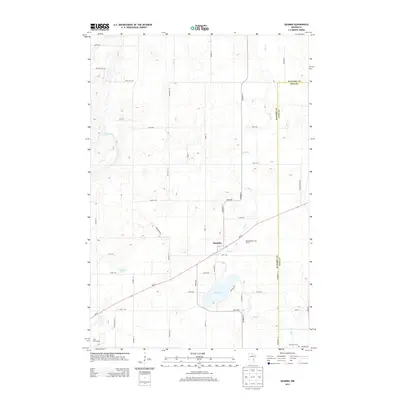
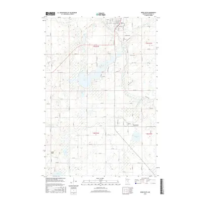
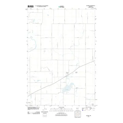 2010 Quamba2010 Print · USGSCovers Comfort Township, including Quamba, Pomroy Township, and other nearby areas
 - 2010 Map of Mora North, 2010 Print
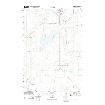
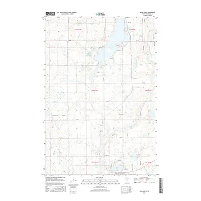
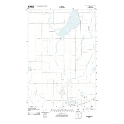 2010 Mora North2010 Print · USGSCovers Comfort Township, including Mora, Hillman Township, and other nearby areas
 - 2010 Map of Grasston, 2010 Print
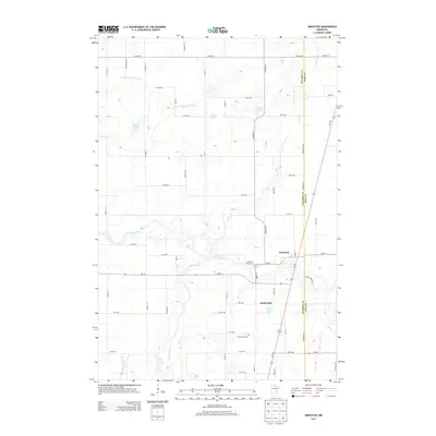
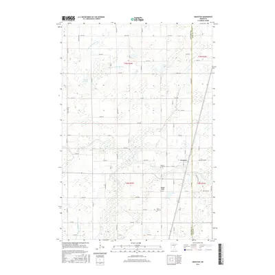
 2010 Grasston2010 Print · USGSCovers Comfort Township, including Grass Lake, Grasston, and other nearby areas
 - 2013 Map of Mora South, 2013 Print
 2013 Mora South2013 Print · USGSCovers Comfort Township, including Mora, Brunswick, and other nearby areas
 - 2013 Map of Grasston, 2013 Print
 2013 Grasston2013 Print · USGSCovers Comfort Township, including Grass Lake, Grasston, and other nearby areas
 - 2013 Map of Quamba, 2013 Print
 2013 Quamba2013 Print · USGSCovers Comfort Township, including Quamba, Pomroy Township, and other nearby areas
 - 2013 Map of Mora North, 2013 Print
 2013 Mora North2013 Print · USGSCovers Comfort Township, including Mora, Hillman Township, and other nearby areas
 - 2016 Map of Mora North, 2016 Print
 2016 Mora North2016 Print · USGSCovers Comfort Township, including Mora, Hillman Township, and other nearby areas
 - 2016 Map of Grasston, 2016 Print
 2016 Grasston2016 Print · USGSCovers Comfort Township, including Grass Lake, Grasston, and other nearby areas
 - 2016 Map of Mora South, 2016 Print
 2016 Mora South2016 Print · USGSCovers Comfort Township, including Mora, Brunswick, and other nearby areas
 - 2016 Map of Quamba, 2016 Print
 2016 Quamba2016 Print · USGSCovers Comfort Township, including Quamba, Pomroy Township, and other nearby areas
 - 2019 Map of Grasston, 2019 Print
 2019 Grasston2019 Print · USGSCovers Comfort Township, including Grass Lake, Grasston, and other nearby areas
Showing maps 1-25 of 32
Top cities near Comfort Township
- Mora historical maps
- Pine City historical maps
- Rush City historical maps
- Braham historical maps
- Brunswick historical maps
- Rock Creek historical maps
See more
Frequently asked questions
- What are the different types of historical maps available for Comfort Township?
- What is the oldest map of Comfort Township?
- Where can I purchase historical maps of Comfort Township for my home or office?
- Where can I download high-res historical maps of Comfort Township?
- Are there historical topographic maps available for Comfort Township?
- Is there historical aerial imagery available for Comfort Township?
- Where are historical maps of Comfort Township sourced from?