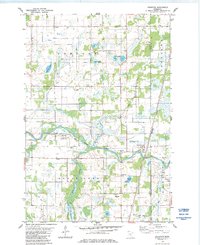
1983 Map of Grasston
USGS Topo · Published 1984About this map
The Snake River meanders through the heart of this landscape, defining the topography of eastern Kanabec County in the early 1980s. The settlement of Grasston serves as a local hub along the Burlington Northern railroad line, supported by a network of drainage infrastructure including County Ditch No 1 and County Ditch No 5. This era shows a rural economy balanced between agriculture and resource extraction, evidenced by the numerous Gravel Pits scattered near the riverbanks.
Find a feature on this map
24 named features on this map. Tap any name to fly to it.
Don’t see what you’re looking for? This feature index may not catch every label — zoom into the map to look around manually.
Map Details
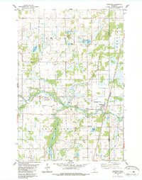
Editions of this 1983 Grasston Map
2 editions found
Other maps of this area

1953 · Stillwater
USGS Topo · 1:250,000

1955 · Stillwater
USGS Topo · 1:250,000

1958 · Stillwater
USGS Topo · 1:250,000

1961 · Cambridge
USGS Topo · 1:62,500

1961 · Brook Park
USGS Topo · 1:62,500

1961 · Springvale
USGS Topo · 1:24,000

1961 · Dalbo
USGS Topo · 1:62,500

1965 · Stillwater
USGS Topo · 1:250,000

1968 · Mora North
USGS Topo · 1:24,000
1968 · Mora South
USGS Topo · 1:24,000