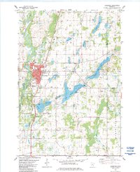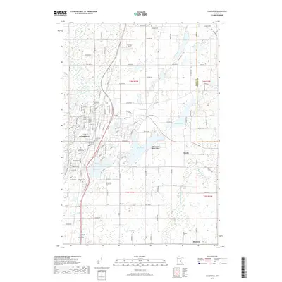
1961 Map of Cambridge
USGS Topo · Published 1963About this map
Cambridge serves as the regional hub in this early 1960s study of the Isanti County lake country, characterized by a complex network of glacial water bodies and the Rum River. Significant social infrastructure is visible, including the sprawling State Hospital grounds on the western edge of the city and the Minnesota Boys Town complex further east near Skogman Lake. The map documents a landscape transitioning from rural farming roots to a more established residential pattern, while still preserving traditional community markers like the Oak Leaf Grange Hall and West Riverside Sch.
Find a feature on this map
80 named features on this map. Tap any name to fly to it.
Don’t see what you’re looking for? This feature index may not catch every label — zoom into the map to look around manually.
Map Details
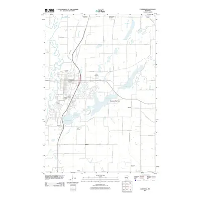
Editions of this 1961 Cambridge Map
This is the sole edition of this map. No revisions or reprints were ever made.
Historical Maps of North Branch Through Time
7 maps found