Loading...
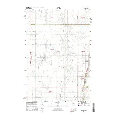
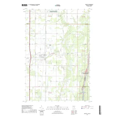
Loading map...1955 Map of Rush City
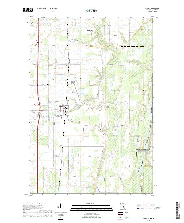
USGS Topo · Published 1957About this map
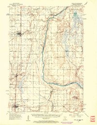
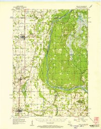
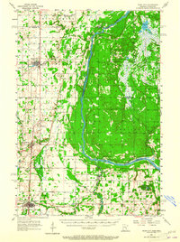
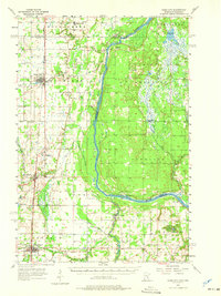
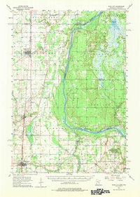
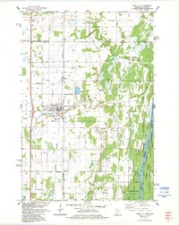
The St Croix River carves a winding path along the border of Minnesota and Wisconsin, defining the character of this mid-century landscape. This survey documents the rail-oriented growth along the Northern Pacific corridor, where the settlements of Rush City, Harris, and North Branch serve as primary hubs. East of the tracks, the terrain shifts toward the river bottomlands and wetlands, punctuated by smaller communities like Sunrise.
Find a feature on this map
47 named features on this map. Tap any name to fly to it.
Don’t see what you’re looking for? This feature index may not catch every label — zoom into the map to look around manually.
Map Details
Date Portrayed1955
Date Published1957
PublisherU.S. Geological Survey
Map TypeTopographic
Scale1:62,500
Physical Dimensions21.53 x 27.23 inches
Editions of this 1955 Rush City Map
5 editions found
Historical Maps of North Branch Through Time
8 maps found

Featured Locations
Source Details
SourceU.S. Geological Survey
CopyrightPublic Domain