
Loading...
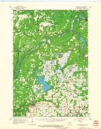
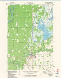
Loading map...1950 Map of Grantsburg
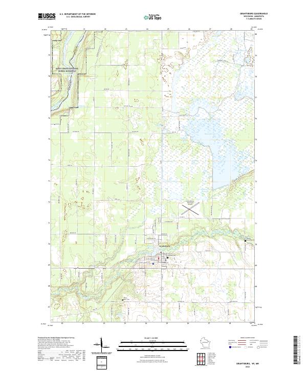
USGS Topo · Published 1950About this map
The St Croix River defines the western border of this 1950 Wisconsin survey, marking the state line with Minnesota. The village of Grantsburg serves as the hub of activity, where the Northern Pacific railroad line reaches Anderson Siding near the Fairgrounds. To the east, the landscape is defined by the West Marshland and numerous water bodies, including Reed Lake and Wood Lake.
Find a feature on this map
42 named features on this map. Tap any name to fly to it.
Don’t see what you’re looking for? This feature index may not catch every label — zoom into the map to look around manually.
Map Details
Date Portrayed1950
Date Published1950
PublisherU.S. Geological Survey
Map TypeTopographic
Scale1:48,000
Physical Dimensions21.58 x 27.22 inches
Editions of this 1950 Grantsburg Map
This is the sole edition of this map. No revisions or reprints were ever made.
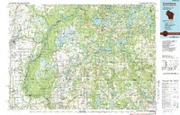
Historical Maps of Grantsburg Through Time
5 maps found
Featured Locations
Source Details
SourceU.S. Geological Survey
CopyrightPublic Domain