
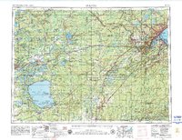
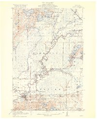
1953 Map of Duluth
USGS Topo · Published 1964About this map
The Mesabi Range and Cuyuna Range define the northern industrial character of this mid-century landscape, marking the iron-rich geology that fueled the region's development. Centered on the Twin Ports of Duluth and Superior, the map details a sophisticated transportation network where the Northern Pacific RR and Soo Line RR converge to move timber and ore toward the Great Lakes.
Find a feature on this map
192 named features on this map. Tap any name to fly to it.
Don’t see what you’re looking for? This feature index may not catch every label — zoom into the map to look around manually.
Map Details
Editions of this 1953 Duluth Map
2 editions found
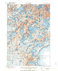
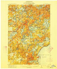
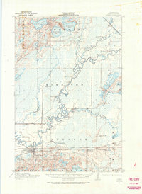
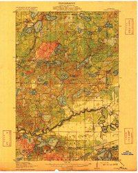
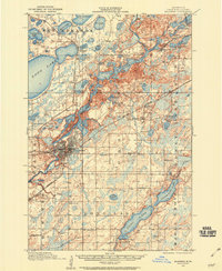
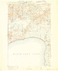
Other maps of this area

1895 · Duluth
USGS Topo · 1:62,500
1912 · Deerwood
USGS Topo · 1:62,500

1913 · Cuyuna
USGS Topo · 1:62,500
1914 · Deerwood
USGS Topo · 1:62,500
1914 · Aitkin
USGS Topo · 1:62,500

1915 · Superior
USGS Topo · 1:48,000
1915 · Aitkin
USGS Topo · 1:62,500
1915 · Cuyuna
USGS Topo · 1:62,500
1915 · Brainerd
USGS Topo · 1:62,500
1916 · Wealthwood
USGS Topo · 1:62,500