
1895 Map of Duluth
USGS Topo · Published 1895About this map
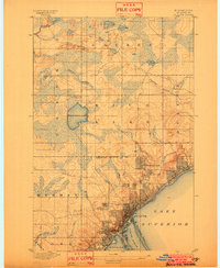
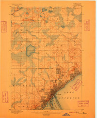
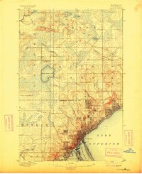
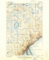
Duluth and its burgeoning suburbs dominate this late-nineteenth-century landscape, nestled against the shore of Lake Superior. The city’s core is tightly gridded, showing the density of Duluth Harbor and the long, thin stretch of Minnesota Point. Beyond the central business district, early residential developments like Woodland Park, Hunter Park, and Lester Park are clearly visible, illustrating the city's expansion up the steep hillsides.
Find a feature on this map
29 named features on this map. Tap any name to fly to it.
Don’t see what you’re looking for? This feature index may not catch every label — zoom into the map to look around manually.
Map Details
Editions of this 1895 Duluth Map
5 editions found
Other maps of this area

1915 · Superior
USGS Topo · 1:48,000

1917 · Superior
USGS Topo · 1:62,500

1949 · Poplar
USGS Topo · 1:48,000

1953 · Twig
USGS Topo · 1:24,000

1953 · Shaw
USGS Topo · 1:24,000

1953 · Lakewood
USGS Topo · 1:24,000

1953 · French River
USGS Topo · 1:24,000

1953 · Adolph
USGS Topo · 1:24,000

1953 · Arnold
USGS Topo · 1:24,000

1953 · Duluth
USGS Topo · 1:24,000