
1917 Map of Superior
USGS Topo · Published 1917About this map
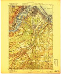
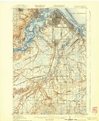
The St Louis Bay region, dominated by the industrial and maritime expansion of Superior, serves as the focal point of this 1914–1915 survey. The landscape is defined by the complex convergence of heavy rail and deep-water transport, featuring the Northern Pacific and Great Northern rail lines that fed the bustling docks at Allouez and the East End. Beyond the urban harbor, the map reveals a dense network of smaller industrial settlements like Steelton, Gary, and Morgen Park, which emerged alongside the developing iron and timber economies.
Find a feature on this map
70 named features on this map. Tap any name to fly to it.
Don’t see what you’re looking for? This feature index may not catch every label — zoom into the map to look around manually.
Map Details
Editions of this 1917 Superior Map
3 editions found
Other maps of this area

1895 · Duluth
USGS Topo · 1:62,500

1915 · Superior
USGS Topo · 1:48,000

1945 · Solon Springs
USGS Topo · 1:48,000

1949 · Solon Springs
USGS Topo · 1:48,000

1949 · Holyoke
USGS Topo · 1:48,000

1949 · Patzau
USGS Topo · 1:48,000

1949 · Poplar
USGS Topo · 1:48,000

1953 · Lakewood
USGS Topo · 1:24,000

1953 · Adolph
USGS Topo · 1:24,000

1953 · Duluth
USGS Topo · 1:24,000