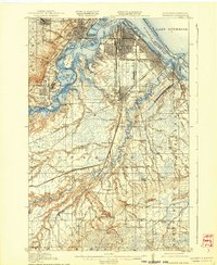
1917 Map of Superior
USGS Topo · Published 1939About this map
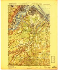
Industrial expansion and rail logistics define this early twentieth-century landscape where the St Louis River meets Lake Superior. The twin ports of Superior and West Duluth are shown at a peak of maritime and rail activity, linked by a complex web of lines including the Great Northern Ry and the Northern Pacific Ry. The southern half of the sheet transitions into a more rural character, marked by a series of country schools such as Selden School and Periggo School, and the dramatic cascades at Manitou Falls and Upper Falls. This survey provides a look at planned industrial communities like Morgan Park and Steelton, contrasting with the natural features of Minnesota Point and Wisconsin Point that protect the harbor. Researchers can trace the early development of outlying settlements like Boylston and Saunders before the expansion of modern infrastructure altered the landscape.
Find a feature on this map
75 named features on this map. Tap any name to fly to it.
Don’t see what you’re looking for? This feature index may not catch every label — zoom into the map to look around manually.
Map Details
Editions of this 1917 Superior Map
3 editions found
Other maps of this area

1895 · Duluth
USGS Topo · 1:62,500

1915 · Superior
USGS Topo · 1:48,000

1917 · Superior
USGS Topo · 1:62,500

1945 · Solon Springs
USGS Topo · 1:48,000

1949 · Solon Springs
USGS Topo · 1:48,000

1949 · Holyoke
USGS Topo · 1:48,000

1949 · Patzau
USGS Topo · 1:48,000

1949 · Poplar
USGS Topo · 1:48,000

1953 · Lakewood
USGS Topo · 1:24,000

1953 · Adolph
USGS Topo · 1:24,000