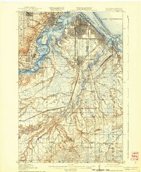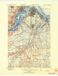
1915 Map of Superior
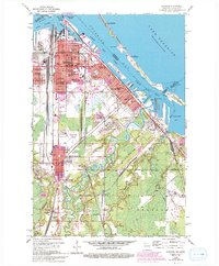
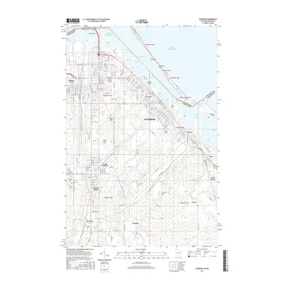
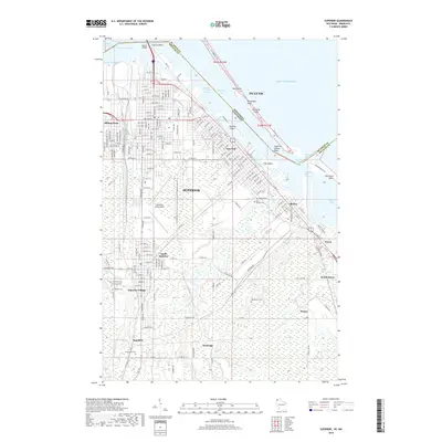
USGS Topo · Published 1955About this map
Superior dominates the landscape as a major industrial hub at the head of the Great Lakes, where a dense grid of city streets meets the intricate shorelines of St Louis Bay and Allouez Bay. This era of the Twin Ports is defined by an intensive network of competing rail lines, including the Great Northern and the Northern Pacific, which lace through the surrounding wetlands and timbered ridges. To the west, corporate industrial planning is visible at Morgan Park and Steelton, settlements designed to serve the iron and steel trade along the St Louis River. The southern portions of the sheet transition into the South Range, where the geography becomes more rural and is punctuated by country schools such as Selden School and Kerwin School, and the dramatic geography of Manitou Falls on the Black River.
Find a feature on this map
78 named features on this map. Tap any name to fly to it.
Don’t see what you’re looking for? This feature index may not catch every label — zoom into the map to look around manually.
Map Details
Editions of this 1915 Superior Map
2 editions found

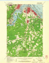
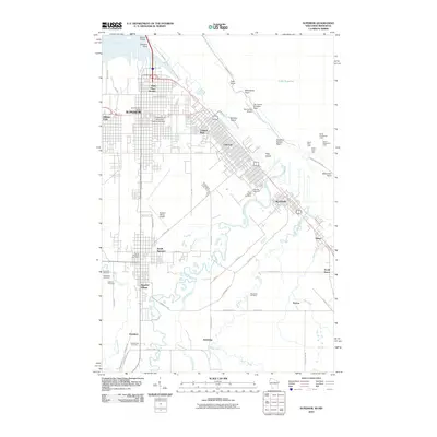
Historical Maps of Duluth Through Time
9 maps found