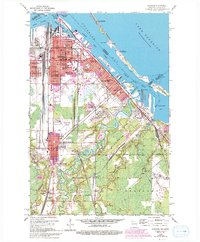
1954 Map of Superior
USGS Topo · Published 1993About this map
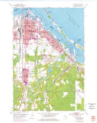
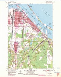
Superior sits at the head of the Great Lakes, where a complex network of slips, basins, and channels like Howards Bay and the Superior Harbor Basin defined the city's mid-century industrial identity. The 1954 topography reveals a landscape heavily shaped by rail and maritime commerce, featuring extensive ore docks and the sprawling Soo Line rail infrastructure. Beyond the docks, the city's social fabric is visible through numerous neighborhood schools like Pattison Sch and Dewey Sch, and institutions such as the St Joseph Orphanage and the Home for the Aged.
Find a feature on this map
75 named features on this map. Tap any name to fly to it.
Don’t see what you’re looking for? This feature index may not catch every label — zoom into the map to look around manually.
Map Details
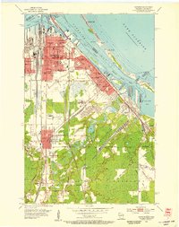
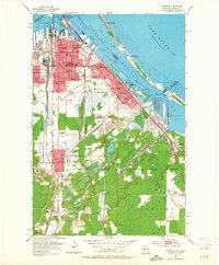
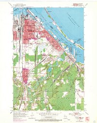
Editions of this 1954 Superior Map
6 editions found
Other maps of this area

1895 · Duluth
USGS Topo · 1:62,500

1915 · Superior
USGS Topo · 1:48,000

1917 · Superior
USGS Topo · 1:62,500

1949 · Poplar
USGS Topo · 1:48,000

1953 · Lakewood
USGS Topo · 1:24,000

1953 · Duluth
USGS Topo · 1:24,000

1953 · Duluth Heights
USGS Topo · 1:24,000

1953 · Duluth
USGS Topo · 1:62,500

1953 · Ashland
USGS Topo · 1:250,000

1953 · Duluth
USGS Topo · 1:250,000