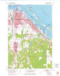
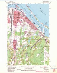
1954 Map of Superior
USGS Topo · Published 1976About this map
The industrial and educational landscape of Superior is defined by its strategic position between Superior Bay and the winding Nemadji River. During this mid-century period, the city served as a vital maritime and rail hub, evidenced by the extensive ore docks in the Superior Harbor Basin and the massive tank farm near the Nemadji Golf Club. Institutional life is well-documented, featuring the Wisconsin State College campus alongside parochial centers like St Joseph Orphanage and the Academy Sch.
Find a feature on this map
88 named features on this map. Tap any name to fly to it.
Don’t see what you’re looking for? This feature index may not catch every label — zoom into the map to look around manually.
Map Details
Editions of this 1954 Superior Map
6 editions found
Other maps of this area

1895 · Duluth
USGS Topo · 1:62,500

1915 · Superior
USGS Topo · 1:48,000

1917 · Superior
USGS Topo · 1:62,500

1949 · Poplar
USGS Topo · 1:48,000

1953 · Lakewood
USGS Topo · 1:24,000

1953 · Duluth
USGS Topo · 1:24,000

1953 · Duluth Heights
USGS Topo · 1:24,000

1953 · Duluth
USGS Topo · 1:62,500

1953 · Ashland
USGS Topo · 1:250,000

1953 · Duluth
USGS Topo · 1:250,000