
1953 Map of Duluth Heights
USGS Topo · Published 1955About this map
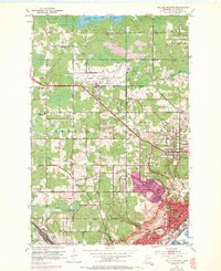
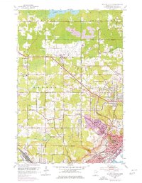
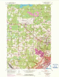
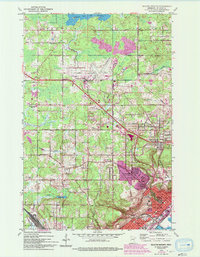
Duluth Municipal Airport serves as a central landmark in this 1950s study of the plateau above Lake Superior, where the burgeoning suburban communities of Hermantown and Duluth Heights are established amidst a landscape of extensive Gravel Pits. The map reveals a transition from the industrial and rail-heavy corridors of Proctor, dominated by the D M & I R railroad, to the more residential and rural township sections of Canosia and Herman.
Find a feature on this map
57 named features on this map. Tap any name to fly to it.
Don’t see what you’re looking for? This feature index may not catch every label — zoom into the map to look around manually.
Map Details
Editions of this 1953 Duluth Heights Map
5 editions found
Other maps of this area

1895 · Duluth
USGS Topo · 1:62,500

1915 · Superior
USGS Topo · 1:48,000

1917 · Superior
USGS Topo · 1:62,500

1953 · Twig
USGS Topo · 1:24,000

1953 · Adolph
USGS Topo · 1:24,000

1953 · Arnold
USGS Topo · 1:24,000

1953 · Duluth
USGS Topo · 1:24,000

1953 · Fredenberg
USGS Topo · 1:24,000

1953 · Duluth
USGS Topo · 1:62,500

1953 · Duluth
USGS Topo · 1:250,000