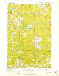
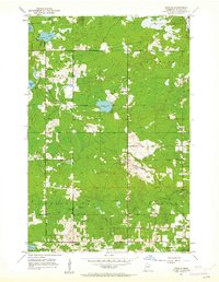
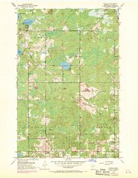
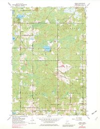
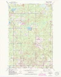
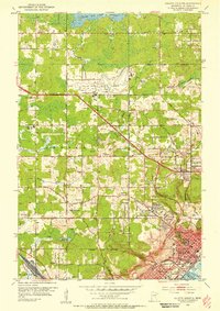
1953 Map of Arnold
USGS Topo · Published 1955About this map
The settlement of Arnold anchors the southern reaches of this landscape north of Duluth in the early 1950s. This territory is partitioned into the townships of Gnesen, Normanna, Rice Lake, and Lakewood, where rural development follows a grid of established thoroughfares like Howard Gnesen Road and Jean Duluth Road. The interior is defined by glacial hydrology, with numerous basins such as Eagle Lake, Horseshoe Lake, and Cameron Lake interspersed among wetland areas. Institutional life is marked by the Gnesen Sch and the Lakewood Sch, along with a centrally located Town Hall. Notable drainage systems including the Lester River and the French River flow toward the southeast, while early industrial activity is evidenced by a Gravel Pit near the headwaters of Amity Creek.
Find a feature on this map
26 named features on this map. Tap any name to fly to it.
Don’t see what you’re looking for? This feature index may not catch every label — zoom into the map to look around manually.
Map Details
Editions of this 1953 Arnold Map
5 editions found
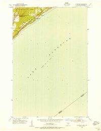
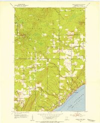
Other maps of this area

1895 · Duluth
USGS Topo · 1:62,500
1953 · Lakewood
USGS Topo · 1:24,000
1953 · French River
USGS Topo · 1:24,000
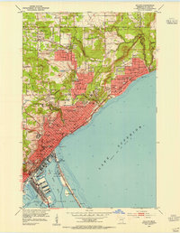
1953 · Duluth
USGS Topo · 1:24,000
1953 · Duluth Heights
USGS Topo · 1:24,000
1953 · Boulder Lake Reservoir
USGS Topo · 1:24,000
1953 · Fredenberg
USGS Topo · 1:24,000

1953 · Duluth
USGS Topo · 1:62,500

1953 · Ashland
USGS Topo · 1:250,000

1953 · Duluth
USGS Topo · 1:250,000