
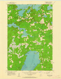
1953 Map of Fredenberg
USGS Topo · Published 1955About this map
The Island Lake Reservoir and Wild Rice Lake Reservoir dominate this mid-century landscape in St. Louis County, where the storage of water transformed the natural flow of the Cloquet River and Beaver River. The small settlement of Fredenberg serves as a central point between these large reservoirs, characterized by a mix of marshy lowlands and scattered upland lakes such as Schultz Lake and Deepwater Lake.
Find a feature on this map
22 named features on this map. Tap any name to fly to it.
Don’t see what you’re looking for? This feature index may not catch every label — zoom into the map to look around manually.
Map Details
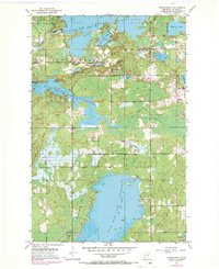
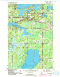
Editions of this 1953 Fredenberg Map
4 editions found
Other maps of this area

1895 · Duluth
USGS Topo · 1:62,500

1953 · Twig
USGS Topo · 1:24,000

1953 · Shaw
USGS Topo · 1:24,000

1953 · Adolph
USGS Topo · 1:24,000

1953 · Arnold
USGS Topo · 1:24,000

1953 · Duluth
USGS Topo · 1:24,000

1953 · Duluth Heights
USGS Topo · 1:24,000

1953 · Boulder Lake Reservoir
USGS Topo · 1:24,000

1953 · Duluth
USGS Topo · 1:62,500

1953 · Duluth
USGS Topo · 1:250,000