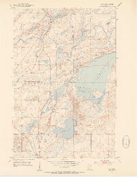
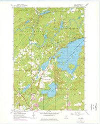
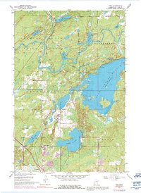
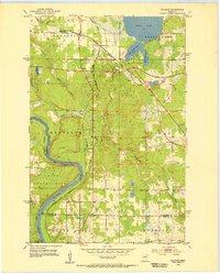
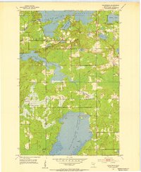
1953 Map of Twig
USGS Topo · Published 1954About this map
Fish Lake Reservoir dominates the eastern half of this landscape, its irregular shoreline and numerous islands shaped by the Fish Lake Dam on the Beaver River. The region reflects a mix of managed timberlands and early twentieth-century infrastructure, with the Cloquet State Forest spanning the north and the Duluth Winnipeg and Pacific railroad cutting a north-south line through the center of the sheet. Small rural nodes like Twig, Bartlett, and Taft provide points of settlement, often centered around small lakes or railway stops. Local life is documented through features such as the Caribou Lake Sch and the Grand Lake Cem, while the interior terrain is marked by a complex network of waterways, including the winding Us-Kab-Wan-Ka River and the Cloquet River. A Lookout Tower near the County Farm and a Rifle Range in the northeast highlight the varied administrative and utility uses of this St. Louis County area during the early 1950s.
Find a feature on this map
30 named features on this map. Tap any name to fly to it.
Don’t see what you’re looking for? This feature index may not catch every label — zoom into the map to look around manually.
Map Details
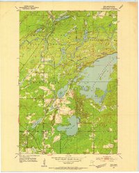
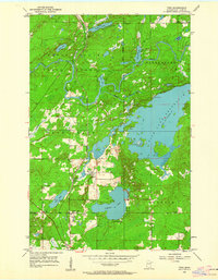
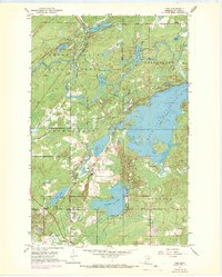
Editions of this 1953 Twig Map
6 editions found
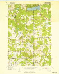
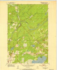
Other maps of this area

1895 · Duluth
USGS Topo · 1:62,500
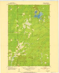
1953 · Canyon
USGS Topo · 1:24,000
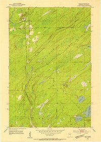
1953 · Shaw
USGS Topo · 1:24,000
1953 · Saginaw
USGS Topo · 1:24,000
1953 · Adolph
USGS Topo · 1:24,000
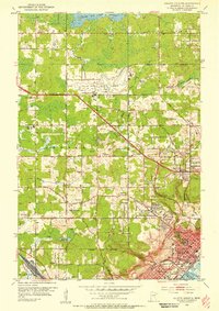
1953 · Duluth Heights
USGS Topo · 1:24,000
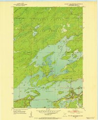
1953 · Boulder Lake Reservoir
USGS Topo · 1:24,000
1953 · Fredenberg
USGS Topo · 1:24,000
1953 · Independence
USGS Topo · 1:24,000

1953 · Duluth
USGS Topo · 1:62,500
Featured Places
- Canosia Township, MN
- Fredenberg Township, MN
- Grand Lake Township, MN
- Twig Station, Grand Lake Township
- Twig, Grand Lake Township