
1953 Map of Independence
USGS Topo · Published 1955About this map
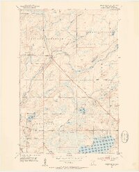
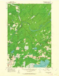
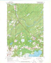
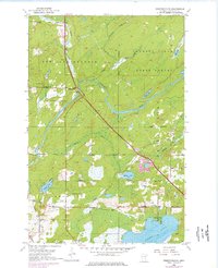
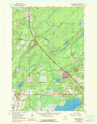
Cloquet Valley State Forest dominates the northern reaches of this St. Louis County landscape, where the Cloquet River carves a winding path through timberland and marsh. Small pockets of settlement like Independence and Harnell Park punctuate the terrain, providing a look at mid-century rural Minnesota. For local history, the presence of the Independence Cem and St Johns Cem near the Railroad Grade offers specific locations for genealogical research. The map captures a water-rich environment defined by Grand Lake, Sunset Lake, and Beaver Lake, along with numerous tributary systems such as Chicken Creek and Hellwig Creek. A Lookout Tower stands as a sentinel over the forest, while small spiritual landmarks like the Twig Chapel reflect the community character of the era.
Find a feature on this map
25 named features on this map. Tap any name to fly to it.
Don’t see what you’re looking for? This feature index may not catch every label — zoom into the map to look around manually.
Map Details
Editions of this 1953 Independence Map
6 editions found
Other maps of this area

1953 · Twig
USGS Topo · 1:24,000

1953 · Canyon
USGS Topo · 1:24,000

1953 · Shaw
USGS Topo · 1:24,000

1953 · Saginaw
USGS Topo · 1:24,000

1953 · Payne
USGS Topo · 1:24,000

1953 · Adolph
USGS Topo · 1:24,000

1953 · Alborn
USGS Topo · 1:24,000

1953 · Brookston
USGS Topo · 1:24,000

1953 · Duluth
USGS Topo · 1:250,000

1954 · Hibbing
USGS Topo · 1:250,000