
1953 Map of Payne
USGS Topo · Published 1955About this map
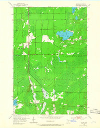
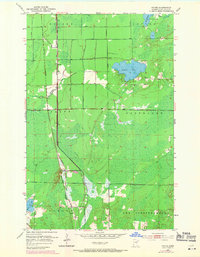
The Duluth Missabe and Iron Range and Great Northern railroads dominate this mid-century landscape of St. Louis County, converging at the settlement of Payne. This junction serves as a central point for the transport of timber and ore, reflecting the industrial character of the Iron Range region. The terrain is marked by extensive marshlands and water bodies, including Lake Nichols and the winding course of the Little Whiteface River.
Find a feature on this map
17 named features on this map. Tap any name to fly to it.
Don’t see what you’re looking for? This feature index may not catch every label — zoom into the map to look around manually.
Map Details
Editions of this 1953 Payne Map
3 editions found
Other maps of this area

1953 · Canyon
USGS Topo · 1:24,000

1953 · Alborn
USGS Topo · 1:24,000

1953 · Independence
USGS Topo · 1:24,000

1953 · Brookston NW
USGS Topo · 1:24,000

1953 · Duluth
USGS Topo · 1:250,000

1954 · Hibbing
USGS Topo · 1:250,000

1956 · Cotton
USGS Topo · 1:24,000

1957 · Hibbing
USGS Topo · 1:250,000

1958 · Hibbing
USGS Topo · 1:250,000

1958 · Duluth
USGS Topo · 1:250,000