
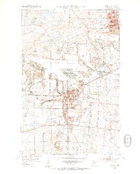
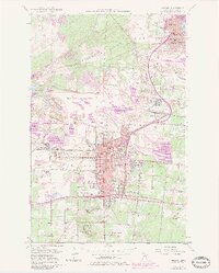
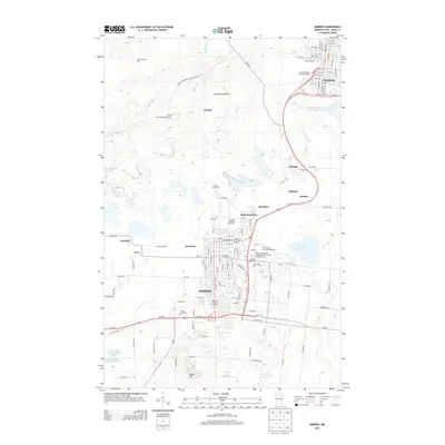
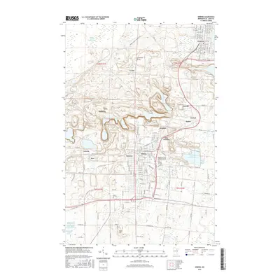
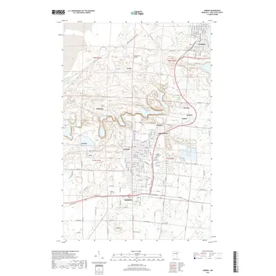
1958 Map of Hibbing
USGS Topo · Published 1958About this map
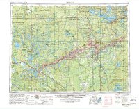
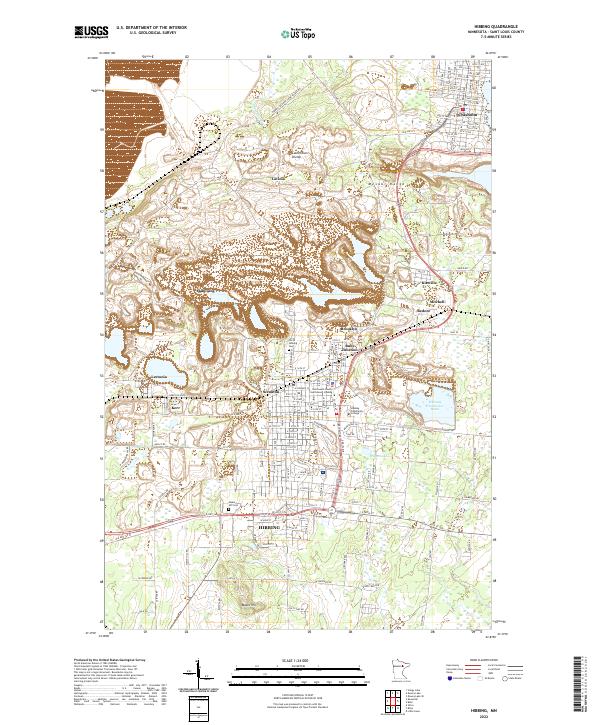
The Mesabi Iron Range dominates the center of this map, stretching from Grand Rapids through Hibbing and eastward to Virginia. This industrial landscape is characterized by a dense network of iron mines and railroads, including the Duluth Missabe and Iron Range and the Great Northern. These rail lines serve as the spine of the region's economy, connecting mining towns like Nashwauk, Keewatin, and Chisholm. North of the mining belt, the character of the land shifts to the dense forests and numerous water bodies of the Chippewa National Forest and Superior National Forest. Settlements such as Bigfork, Effie, and Togo are scattered among lakes like Murtle Lake and Lake Erskine, representing a more rural, timber-focused way of life. The intricate detail of the lookout towers and small town halls scattered throughout Koochiching County and Itasca County provides a localized view of the region's mid-century civic and fire-prevention infrastructure.
Find a feature on this map
303 named features on this map. Tap any name to fly to it.
Don’t see what you’re looking for? This feature index may not catch every label — zoom into the map to look around manually.
Map Details
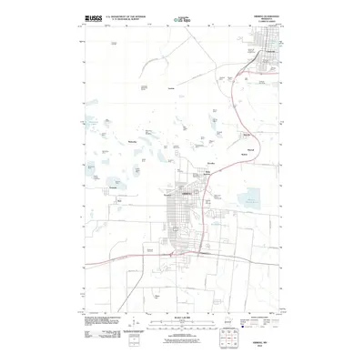
Editions of this 1958 Hibbing Map
This is the sole edition of this map. No revisions or reprints were ever made.
Historical Maps of Hibbing Through Time
12 maps found
1951 Hibbing
St. Louis County, MN
1954 Hibbing
St. Louis County, MN

1957 Hibbing
St. Louis County, MN
1957 Hibbing
St. Louis County, MN
1958 Hibbing
St. Louis County, MN

1964 Hibbing
St. Louis County, MN

1977 Hibbing
St. Louis County, MN
2010 Hibbing
St. Louis County, MN
2013 Hibbing
St. Louis County, MN
2016 Hibbing
St. Louis County, MN
2019 Hibbing
St. Louis County, MN
2022 Hibbing
St. Louis County, MN