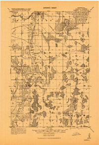
1919 Map of Marcell
USGS Topo · Published 1943About this map
Big Fork River and the Rice River dominate the northern drainage of this Itasca County landscape, as mapped by the Corps of Engineers. This 1919 data, published as an advance sheet during World War II, details the infrastructure of the Minneapolis and Rainy River Railroad. Crucial rail points like Round Lake Junction, Round Lake Siding, and Jesse Lake Junction are clearly marked, illustrating how the timber and transport economy functioned before modern highways.
Find a feature on this map
47 named features on this map. Tap any name to fly to it.
Don’t see what you’re looking for? This feature index may not catch every label — zoom into the map to look around manually.
Map Details
Editions of this 1919 Marcell Map
This is the sole edition of this map. No revisions or reprints were ever made.
Other maps of this area

1918 · Zora
USGS Topo · 1:62,500

1919 · Zora
USGS Topo · 1:62,500

1919 · Release
USGS Topo · 1:62,500

1920 · Trout Lake
USGS Topo · 1:62,500

1943 · Release
USGS Topo · 1:62,500

1954 · Hibbing
USGS Topo · 1:250,000

1957 · Hibbing
USGS Topo · 1:250,000

1958 · Hibbing
USGS Topo · 1:250,000

1964 · Hibbing
USGS Topo · 1:250,000
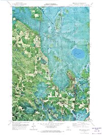
1970 · Deer River NE
USGS Topo · 1:24,000