
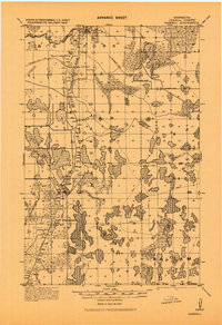
1943 Map of Release
USGS Topo · Published 1943About this map
The Prairie River flows through this 1943 military survey of central Itasca County, reflecting a landscape defined by an intricate network of glacial lakes and wetlands. Originally compiled in 1919 and updated during the war, the map reveals a sparsely settled region where the Release School stands as a primary landmark for the local community. The terrain is dominated by significant water bodies such as Balsam Lake, Wasson Lake, and the uniquely named Brush Shanty Lake. A dense system of section lines and township boundaries, including T. 60 N. and R. 24 W., provides a rigid framework over the irregular natural features. While the northern reaches are heavily characterized by marshland and small ponds like Raddison Lake and Thoreau Lake, the southern portion is drained by Balsam Creek and Hurleys Creek, showing early roads that navigated between the larger lakes.
Find a feature on this map
35 named features on this map. Tap any name to fly to it.
Don’t see what you’re looking for? This feature index may not catch every label — zoom into the map to look around manually.
Map Details
Editions of this 1943 Release Map
This is the sole edition of this map. No revisions or reprints were ever made.
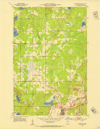
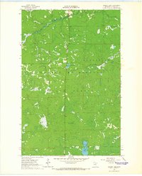
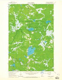
Other maps of this area

1919 · Release
USGS Topo · 1:62,500
1919 · Marcell
USGS Topo · 1:62,500

1920 · Trout Lake
USGS Topo · 1:62,500
1952 · Nashwauk
USGS Topo · 1:24,000

1954 · Hibbing
USGS Topo · 1:250,000

1957 · Hibbing
USGS Topo · 1:250,000

1958 · Hibbing
USGS Topo · 1:250,000

1964 · Hibbing
USGS Topo · 1:250,000
1964 · Sherry Lake
USGS Topo · 1:24,000
1964 · O'Leary Lake
USGS Topo · 1:24,000