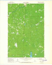
1964 Map of Sherry Lake
USGS Topo · Published 1965About this map
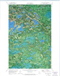
George Washington State Forest dominates this mid-1960s landscape, where the Bear River winds through the northern sections near the border of Bearville. The terrain is characterized by a dense network of wetlands and small lakes, most notably Sherry Lake in the south and Wamp Lake further north. A distinct topographic high point is found at Stony Ridge, which is served by a lookout tower that once provided a critical vantage point for forest management. This era of the forest is captured just as photogrammetric methods were refining the mapping of the North Woods, showing the established routes like the Snake Trail and Link Lake Trail that facilitated movement through the timber and peatlands of Itasca County.
Find a feature on this map
12 named features on this map. Tap any name to fly to it.
Don’t see what you’re looking for? This feature index may not catch every label — zoom into the map to look around manually.
Map Details
Editions of this 1964 Sherry Lake Map
This is the sole edition of this map. No revisions or reprints were ever made.
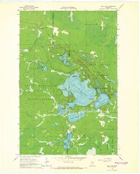
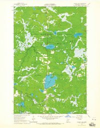
Other maps of this area

1919 · Release
USGS Topo · 1:62,500

1943 · Release
USGS Topo · 1:62,500

1954 · Hibbing
USGS Topo · 1:250,000

1957 · Hibbing
USGS Topo · 1:250,000

1958 · Hibbing
USGS Topo · 1:250,000

1964 · Hibbing
USGS Topo · 1:250,000
1964 · Side Lake
USGS Topo · 1:24,000
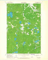
1964 · Stingy Lake
USGS Topo · 1:24,000
1964 · O'Leary Lake
USGS Topo · 1:24,000
1970 · Deer Lake East
USGS Topo · 1:24,000