
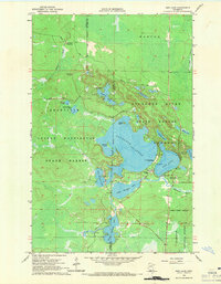
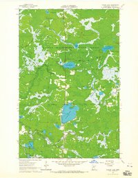
1964 Map of Side Lake
USGS Topo · Published 1965About this map
Sturgeon Lake serves as the centerpiece of this lake-heavy Minnesota landscape, where the Itasca Co St Louis Co Boundary divides the waters. The early 1960s terrain is heavily dominated by public timber and recreation lands, with much of the sheet falling within the George Washington State Forest and the McCarthy Beach State Park. Along the southern shore of Side Lake, the small settlement contains local landmarks like the Sturgeon Lake Mission Chapel of the Pines and Lakeview Chapel, suggesting a community geared toward seasonal recreation and wilderness access.
Find a feature on this map
32 named features on this map. Tap any name to fly to it.
Don’t see what you’re looking for? This feature index may not catch every label — zoom into the map to look around manually.
Map Details
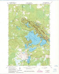
Editions of this 1964 Side Lake Map
3 editions found
Other maps of this area

1954 · Hibbing
USGS Topo · 1:250,000

1955 · Dewey Lake NW
USGS Topo · 1:24,000

1955 · Dewey Lake
USGS Topo · 1:24,000

1957 · Hibbing
USGS Topo · 1:250,000

1958 · Hibbing
USGS Topo · 1:250,000

1964 · Hibbing
USGS Topo · 1:250,000
1964 · Stingy Lake
USGS Topo · 1:24,000
1964 · Meadow Brook
USGS Topo · 1:24,000

1964 · Sherry Lake
USGS Topo · 1:24,000
1964 · O'Leary Lake
USGS Topo · 1:24,000