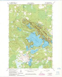
1964 Map of Side Lake
USGS Topo · Published 1985About this map
McCarthy Beach and the sprawling waters of Sturgeon Lake anchor this recreational and timber landscape in the mid-1960s. The map illustrates a complex network of glacial lakes including Side Lake, Beatrice Lake, and Trestle Lake, all situated at the convergence of major public lands. The boundary between George Washington State Forest, Sturgeon River State Forest, and Superior National Forest highlights the region's importance for conservation and forestry.
Find a feature on this map
34 named features on this map. Tap any name to fly to it.
Don’t see what you’re looking for? This feature index may not catch every label — zoom into the map to look around manually.
Map Details
Editions of this 1964 Side Lake Map
3 editions found
Other maps of this area

1954 · Hibbing
USGS Topo · 1:250,000

1955 · Dewey Lake NW
USGS Topo · 1:24,000

1955 · Dewey Lake
USGS Topo · 1:24,000

1957 · Hibbing
USGS Topo · 1:250,000

1958 · Hibbing
USGS Topo · 1:250,000

1964 · Hibbing
USGS Topo · 1:250,000

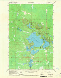
1964 · Side Lake
USGS Topo · 1:24,000
1964 · Stingy Lake
USGS Topo · 1:24,000
1964 · Meadow Brook
USGS Topo · 1:24,000

1964 · Sherry Lake
USGS Topo · 1:24,000