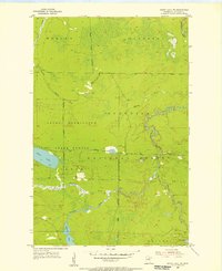
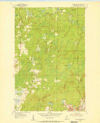
1955 Map of Dewey Lake NW
USGS Topo · Published 1956About this map
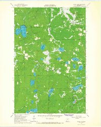
The Sturgeon River meanders through this mid-century landscape of northern St. Louis County, marking a complex boundary between the George Washington State Forest and the Superior National Forest. This 1955 field-checked survey reveals an area defined by its water systems and forest management rather than urban development. Small bodies of water such as Luna Lake, Perch Lake, and Shannon Lake dot the timberland, while the presence of a Gaging Station and several remote river crossings suggests the importance of hydrological monitoring in this watershed. Local industry is represented by a solitary Gravel Pit, providing a glimpse into the infrastructure needs of the surrounding townships like Morcom and French. The intricate network of forest boundaries and minor tributaries like Sand Creek and Murray Creek illustrates the rugged, sparsely populated character of the Iron Range backcountry during this era.
Find a feature on this map
19 named features on this map. Tap any name to fly to it.
Don’t see what you’re looking for? This feature index may not catch every label — zoom into the map to look around manually.
Map Details
Editions of this 1955 Dewey Lake NW Map
3 editions found
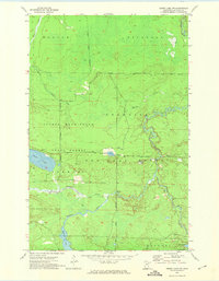
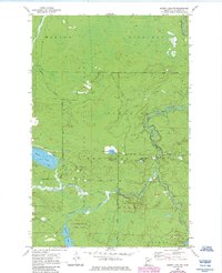
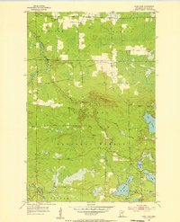
Other maps of this area

1954 · Hibbing
USGS Topo · 1:250,000
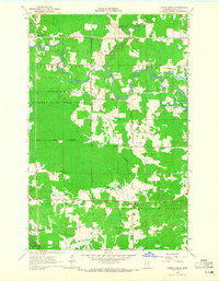
1955 · Dark Lake
USGS Topo · 1:24,000
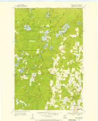
1955 · Dewey Lake SE
USGS Topo · 1:24,000
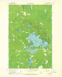
1955 · Dewey Lake
USGS Topo · 1:24,000

1957 · Hibbing
USGS Topo · 1:250,000

1958 · Hibbing
USGS Topo · 1:250,000

1964 · Hibbing
USGS Topo · 1:250,000
1964 · Side Lake
USGS Topo · 1:24,000
1964 · Linden Grove
USGS Topo · 1:24,000
1964 · Stingy Lake
USGS Topo · 1:24,000