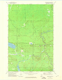
1955 Map of Dewey Lake NW
USGS Topo · Published 1974About this map
George Washington State Forest and the Superior National Forest converge in this mid-century landscape of the Iron Range region, defined by an intricate network of wetlands and waterways. The Sturgeon River meanders across the center of the quadrangle, passing a lone Gaging Station and receiving flow from Murray Creek and Sand Creek. The terrain is characterized by depressions like French Hollow and a series of lakes including Perch Lake and Luna Lake. Mapping of this area, compiled in part by the Minnesota Department of Conservation, reveals a territory primarily designated for timber and conservation rather than dense settlement. Signs of local industry are sparse, limited to a Gravel Pit near the southern boundary, while the river system remains the dominant geographic feature of the Morcom and Sturgeon townships.
Find a feature on this map
18 named features on this map. Tap any name to fly to it.
Don’t see what you’re looking for? This feature index may not catch every label — zoom into the map to look around manually.
Map Details
Editions of this 1955 Dewey Lake NW Map
3 editions found
Other maps of this area

1954 · Hibbing
USGS Topo · 1:250,000

1955 · Dark Lake
USGS Topo · 1:24,000

1955 · Dewey Lake SE
USGS Topo · 1:24,000

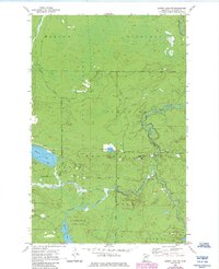
1955 · Dewey Lake NW
USGS Topo · 1:24,000

1955 · Dewey Lake
USGS Topo · 1:24,000

1957 · Hibbing
USGS Topo · 1:250,000

1958 · Hibbing
USGS Topo · 1:250,000

1964 · Hibbing
USGS Topo · 1:250,000

1964 · Side Lake
USGS Topo · 1:24,000

1964 · Linden Grove
USGS Topo · 1:24,000