
1964 Map of Linden Grove
USGS Topo · Published 1965About this map
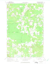
Linden Grove and its surrounding wetlands occupy a landscape defined by the winding course of the Little Fork River in the early 1960s. This region of northern St. Louis County is characterized by a mix of agriculture and managed timberlands, with the Sturgeon River State Forest and the Superior National Forest covering substantial portions of the terrain. The river system is particularly active here, featuring numerous named water hazards such as Durant Rapids, Twite Rapids, and Rapids along the main channel.
Find a feature on this map
19 named features on this map. Tap any name to fly to it.
Don’t see what you’re looking for? This feature index may not catch every label — zoom into the map to look around manually.
Map Details
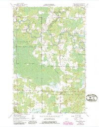
Editions of this 1964 Linden Grove Map
3 editions found
Other maps of this area

1952 · Idington
USGS Topo · 1:24,000

1954 · Hibbing
USGS Topo · 1:250,000

1955 · Dark Lake
USGS Topo · 1:24,000

1955 · Dewey Lake NW
USGS Topo · 1:24,000

1957 · Hibbing
USGS Topo · 1:250,000

1958 · Hibbing
USGS Topo · 1:250,000

1964 · Hibbing
USGS Topo · 1:250,000

1964 · Haley
USGS Topo · 1:24,000

1964 · Gheen NW
USGS Topo · 1:24,000

1964 · Gheen
USGS Topo · 1:24,000