
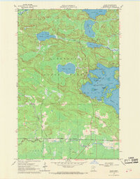
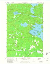
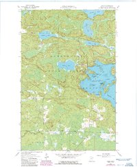
1964 Map of Haley
USGS Topo · Published 1965About this map
The Kabetogama State Forest dominates this northern Minnesota landscape, characterized by a complex network of glacial lakes and waterways. The western shores of Vermilion Lake reach into the eastern half of the quadrangle, notably at Wakemup Bay and Head of the Lakes Bay. Family-named points and islands, such as Jacobsons Point, Schmidts Island, and Piccard Island, suggest a well-established lakeside culture by the mid-1960s.
Find a feature on this map
34 named features on this map. Tap any name to fly to it.
Don’t see what you’re looking for? This feature index may not catch every label — zoom into the map to look around manually.
Map Details
Editions of this 1964 Haley Map
4 editions found
Other maps of this area

1954 · Hibbing
USGS Topo · 1:250,000

1954 · International Falls
USGS Topo · 1:250,000

1957 · Hibbing
USGS Topo · 1:250,000

1957 · International Falls
USGS Topo · 1:250,000

1958 · International Falls
USGS Topo · 1:250,000

1958 · Hibbing
USGS Topo · 1:250,000

1964 · Hibbing
USGS Topo · 1:250,000

1964 · Linden Grove
USGS Topo · 1:24,000

1964 · Gheen
USGS Topo · 1:24,000
1964 · Sassas Creek
USGS Topo · 1:24,000