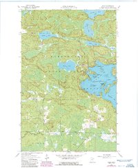
1964 Map of Haley
USGS Topo · Published 1986About this map
Vermilion Lake dominates the eastern edge of this landscape, its complex shoreline defined by points and islands including Jacobsons Point and Piccard Island. This 1964 survey, which received photorevisions in 1986, details a wilderness transitioning from the wetlands of the Kabetogama State Forest to the small settlement at Haley. The Duluth Winnipeg and Pacific railroad cuts through the center of the sheet, providing a vital transportation link through the townships of Leiding, Beatty, and Field. A notable site for local historians and genealogists is the Indian Cem located near the shore of Wakemup Bay. The interior is dotted with significant water bodies such as Hoodoo Lake, Sunset Lake, and Black Lake, connected by a network of drainage creeks like Hoodoo Creek and Sunset Creek.
Find a feature on this map
32 named features on this map. Tap any name to fly to it.
Don’t see what you’re looking for? This feature index may not catch every label — zoom into the map to look around manually.
Map Details
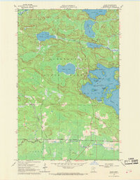
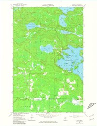
Editions of this 1964 Haley Map
4 editions found
Other maps of this area

1954 · Hibbing
USGS Topo · 1:250,000

1954 · International Falls
USGS Topo · 1:250,000

1957 · Hibbing
USGS Topo · 1:250,000

1957 · International Falls
USGS Topo · 1:250,000

1958 · International Falls
USGS Topo · 1:250,000

1958 · Hibbing
USGS Topo · 1:250,000

1964 · Hibbing
USGS Topo · 1:250,000

1964 · Linden Grove
USGS Topo · 1:24,000

1964 · Haley
USGS Topo · 1:24,000

1964 · Gheen
USGS Topo · 1:24,000