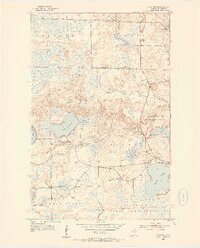
1955 Map of Dark Lake
USGS Topo · Published 1956About this map
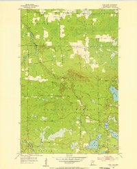
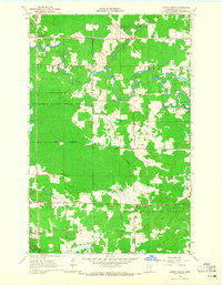
The Superior National Forest encompasses the majority of this mid-century survey, revealing a landscape defined by its intricate drainage networks and marshy lowlands. Centered around the winding Sturgeon River and the Dark River, the terrain transitions from the township of Sturgeon in the northwest to Scott in the southeast. A gathering point for the rural community is found at Alango Hall, while various named water bodies like Great Dark Lake, Beaver Lake, and Leander Lake dot the forested interior.
Find a feature on this map
26 named features on this map. Tap any name to fly to it.
Don’t see what you’re looking for? This feature index may not catch every label — zoom into the map to look around manually.
Map Details
Editions of this 1955 Dark Lake Map
3 editions found
Other maps of this area
1951 · Kinney
USGS Topo · 1:24,000
1952 · Idington
USGS Topo · 1:24,000

1954 · Hibbing
USGS Topo · 1:250,000
1955 · Dewey Lake SE
USGS Topo · 1:24,000
1955 · Dewey Lake NW
USGS Topo · 1:24,000
1955 · Dewey Lake
USGS Topo · 1:24,000

1957 · Hibbing
USGS Topo · 1:250,000

1958 · Hibbing
USGS Topo · 1:250,000

1964 · Hibbing
USGS Topo · 1:250,000
1964 · Linden Grove
USGS Topo · 1:24,000