
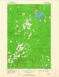
1953 Map of Canyon
USGS Topo · Published 1954About this map
Canyon serves as the primary settlement on this mid-century survey of St. Louis County, located at the junction of several rural roads. The landscape is defined by the dense wetlands and timber of the Cloquet Valley State Forest, where drainage is managed by a network of small streams including Hellwig Creek and Chicken Creek. The township boundaries of Cotton, Northland, and New Independence converge here, reflecting the administrative structure of these rural Minnesota woods.
Find a feature on this map
17 named features on this map. Tap any name to fly to it.
Don’t see what you’re looking for? This feature index may not catch every label — zoom into the map to look around manually.
Map Details
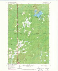
Editions of this 1953 Canyon Map
3 editions found
Other maps of this area

1953 · Twig
USGS Topo · 1:24,000

1953 · Shaw
USGS Topo · 1:24,000

1953 · Payne
USGS Topo · 1:24,000

1953 · Alborn
USGS Topo · 1:24,000

1953 · Independence
USGS Topo · 1:24,000

1953 · Duluth
USGS Topo · 1:250,000

1954 · Hibbing
USGS Topo · 1:250,000

1956 · Cotton
USGS Topo · 1:24,000

1956 · Whiteface
USGS Topo · 1:24,000

1957 · Hibbing
USGS Topo · 1:250,000