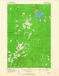
1953 Map of Canyon
USGS Topo · Published 1964About this map
Cloquet Valley State Forest dominates the eastern half of this mid-century survey, a landscape defined by glacial lakes and the headwaters of several drainages. The small settlement of Canyon serves as a local hub near the center of the sheet, situated along a primary road corridor where a Cem and Town Hall are established. To the north and west, the map delineates township divisions for Cotton, Northland, and New Independence.
Find a feature on this map
17 named features on this map. Tap any name to fly to it.
Don’t see what you’re looking for? This feature index may not catch every label — zoom into the map to look around manually.
Map Details
Editions of this 1953 Canyon Map
3 editions found
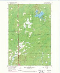
Other maps of this area

1953 · Twig
USGS Topo · 1:24,000

1953 · Canyon
USGS Topo · 1:24,000

1953 · Shaw
USGS Topo · 1:24,000

1953 · Payne
USGS Topo · 1:24,000

1953 · Alborn
USGS Topo · 1:24,000

1953 · Independence
USGS Topo · 1:24,000

1953 · Duluth
USGS Topo · 1:250,000

1954 · Hibbing
USGS Topo · 1:250,000

1956 · Cotton
USGS Topo · 1:24,000

1956 · Whiteface
USGS Topo · 1:24,000