
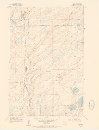
1953 Map of Shaw
USGS Topo · Published 1954About this map
Shaw serves as the primary settlement within this northern landscape, situated near a small Cem and the northern reaches of the Duluth Winnipeg and Pacific railroad. The terrain is defined by the winding course of the Us-Kab-Wan-Ka River, which cuts through the Cloquet Valley State Forest. This mid-century survey illustrates a region shaped by timber and water management, notably where the southeastern corner meets the Island Lake Reservoir. The map captures the quiet transition between the townships of Grand Lake and Fredenberg, showing a network of rural routes connecting remote water bodies like Morgan Lake and Cooks Lake. The presence of the railroad line running parallel to the river suggests the importance of industrial transport in moving raw materials out of the St. Louis County woods during the early 1950s.
Find a feature on this map
12 named features on this map. Tap any name to fly to it.
Don’t see what you’re looking for? This feature index may not catch every label — zoom into the map to look around manually.
Map Details
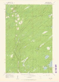
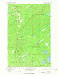
Editions of this 1953 Shaw Map
4 editions found
Other maps of this area

1895 · Duluth
USGS Topo · 1:62,500

1953 · Twig
USGS Topo · 1:24,000

1953 · Canyon
USGS Topo · 1:24,000

1953 · Boulder Lake Reservoir
USGS Topo · 1:24,000

1953 · Fredenberg
USGS Topo · 1:24,000

1953 · Independence
USGS Topo · 1:24,000

1953 · Duluth
USGS Topo · 1:62,500

1953 · Duluth
USGS Topo · 1:250,000

1954 · Hibbing
USGS Topo · 1:250,000

1956 · Cotton
USGS Topo · 1:24,000