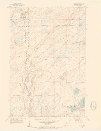
1953 Map of Shaw
USGS Topo · Published 1954About this map
The small settlement of Shaw serves as the focal point for this 1950s survey of St. Louis County, where the iron-range logistics and timber landscapes of northern Minnesota intersect. The Duluth Winnipeg and Pacific railroad cuts a straight north-south line through the terrain, paralleling the winding course of the Us-Kab-Wan-Ka River. This corridor reflects the industrial movement of goods toward Duluth, set against a backdrop of dense State Forest and scattered water bodies.
Find a feature on this map
14 named features on this map. Tap any name to fly to it.
Don’t see what you’re looking for? This feature index may not catch every label — zoom into the map to look around manually.
Map Details
Editions of this 1953 Shaw Map
4 editions found
Other maps of this area

1895 · Duluth
USGS Topo · 1:62,500

1953 · Twig
USGS Topo · 1:24,000

1953 · Canyon
USGS Topo · 1:24,000

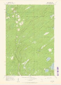
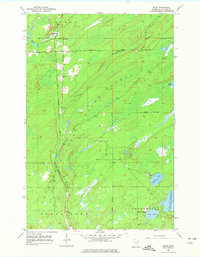
1953 · Shaw
USGS Topo · 1:24,000

1953 · Boulder Lake Reservoir
USGS Topo · 1:24,000

1953 · Fredenberg
USGS Topo · 1:24,000

1953 · Independence
USGS Topo · 1:24,000

1953 · Duluth
USGS Topo · 1:62,500

1953 · Duluth
USGS Topo · 1:250,000

1954 · Hibbing
USGS Topo · 1:250,000