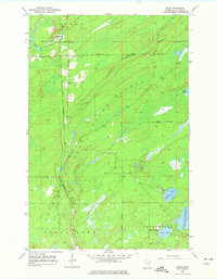
1953 Map of Shaw
USGS Topo · Published 1977About this map
The Duluth Winnipeg and Pacific railroad forms a clear north-south axis through this corner of St. Louis County, tracing the edge of a prominent Valley. The small settlement of Shaw sits at the northern end of this corridor, marked by a local Cem and proximity to the winding Bug Creek. The eastern half of the map is dominated by the dense woodlands of the Cloquet Valley State Forest, a landscape defined by its complex drainage systems and isolated water bodies. These wetlands feed into the Us-Kab-Wan-Ka River and eventually reach the Island Lake Reservoir in the southeast. This 1953 survey captures the region's character as a transition between timber management and the edge of the Iron Range rail network, showing clear township boundaries for Cotton, Fredenberg, and Grand Lake.
Find a feature on this map
16 named features on this map. Tap any name to fly to it.
Don’t see what you’re looking for? This feature index may not catch every label — zoom into the map to look around manually.
Map Details
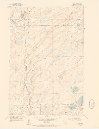
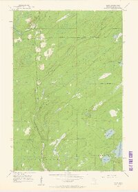
Editions of this 1953 Shaw Map
4 editions found
Other maps of this area

1895 · Duluth
USGS Topo · 1:62,500

1953 · Twig
USGS Topo · 1:24,000

1953 · Canyon
USGS Topo · 1:24,000

1953 · Shaw
USGS Topo · 1:24,000

1953 · Boulder Lake Reservoir
USGS Topo · 1:24,000

1953 · Fredenberg
USGS Topo · 1:24,000

1953 · Independence
USGS Topo · 1:24,000

1953 · Duluth
USGS Topo · 1:62,500

1953 · Duluth
USGS Topo · 1:250,000

1954 · Hibbing
USGS Topo · 1:250,000