
1953 Map of Duluth
USGS Topo · Published 1959About this map
Lake Superior dominates the southeastern edge of this mid-century survey, where the urban core of Duluth meets the water at Rice Point and the long, thin stretch of Minnesota Point. The map illustrates a city in transition, showing established neighborhoods like Woodland and Hunters Park alongside new developments such as the Duluth Municipal Airport. To the north, the landscape shifts into a complex network of timber and water management, defined by large impoundments like Wild Rice Lake Reservoir and Island Lake Reservoir on the Cloquet River.
Find a feature on this map
69 named features on this map. Tap any name to fly to it.
Don’t see what you’re looking for? This feature index may not catch every label — zoom into the map to look around manually.
Map Details
Editions of this 1953 Duluth Map
This is the sole edition of this map. No revisions or reprints were ever made.
Other maps of this area

1895 · Duluth
USGS Topo · 1:62,500

1915 · Superior
USGS Topo · 1:48,000

1917 · Superior
USGS Topo · 1:62,500

1949 · Poplar
USGS Topo · 1:48,000
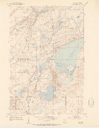
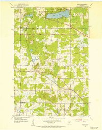
1953 · Twig
USGS Topo · 1:24,000
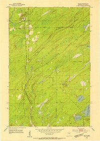
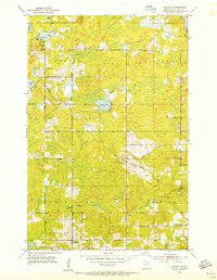
1953 · Shaw
USGS Topo · 1:24,000
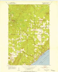
1953 · Lakewood
USGS Topo · 1:24,000
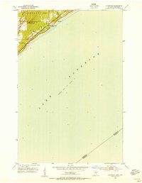
1953 · French River
USGS Topo · 1:24,000
1953 · Adolph
USGS Topo · 1:24,000
1953 · Arnold
USGS Topo · 1:24,000