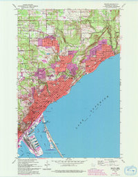
1953 Map of Duluth
USGS Topo · Published 1993About this map
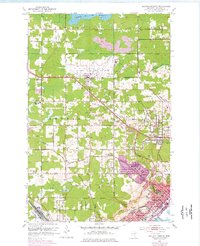
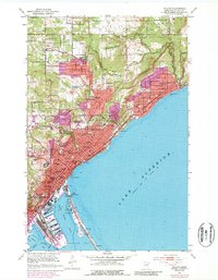
Lake Superior defines the eastern edge of this landscape, where the concentrated development of Duluth meets the rocky shoreline. The city's mid-century institutional footprint is remarkably dense, featuring St Scholastica College, the University of Minnesota Duluth Branch, and the St James Orphanage. Near the northern city boundary, a cluster of faith-based burial grounds including Calvary Cemetery, the Polish Cem, and Adas Israel Cem Tifereth Israel Cem provide specific points of interest for genealogists tracing the area's ethnic history.
Find a feature on this map
51 named features on this map. Tap any name to fly to it.
Don’t see what you’re looking for? This feature index may not catch every label — zoom into the map to look around manually.
Map Details
Editions of this 1953 Duluth Map
7 editions found
Other maps of this area

1895 · Duluth
USGS Topo · 1:62,500

1915 · Superior
USGS Topo · 1:48,000

1917 · Superior
USGS Topo · 1:62,500

1949 · Poplar
USGS Topo · 1:48,000

1953 · Lakewood
USGS Topo · 1:24,000

1953 · French River
USGS Topo · 1:24,000

1953 · Arnold
USGS Topo · 1:24,000

1953 · Duluth
USGS Topo · 1:24,000

1953 · Duluth Heights
USGS Topo · 1:24,000

1953 · Fredenberg
USGS Topo · 1:24,000