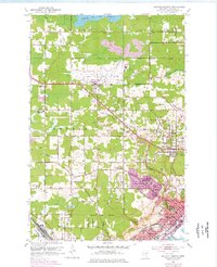
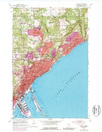
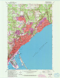
1953 Map of Duluth
USGS Topo · Published 1976About this map
Duluth International Airport anchors the central landscape of this survey, surrounded by the expanding suburban fringes of Hermantown and Duluth Heights. The map reveals a transition from the industrial and rail hubs of Proctor and Missabe Junction to the more rural townships of Canosia and Herman. Significant local landmarks like the Drive-in Theater and Radio Range Towers reflect the mid-century infrastructure, while numerous cemeteries including Sunrise Memorial Cemetery, Jewish Cem, and Bethany Cem provide deep genealogical value for the region. Water features such as Wild Rice Lake Reservoir and the Midway River highlight the drainage patterns toward Lake Superior. This 1953 edition includes purple overprinting from the early 1970s, which specifically identifies the rapid expansion of urban residential areas and shopping districts along the Miller Trunk Road corridor.
Find a feature on this map
60 named features on this map. Tap any name to fly to it.
Don’t see what you’re looking for? This feature index may not catch every label — zoom into the map to look around manually.
Map Details
Editions of this 1953 Duluth Map
7 editions found
Other maps of this area

1895 · Duluth
USGS Topo · 1:62,500

1915 · Superior
USGS Topo · 1:48,000

1917 · Superior
USGS Topo · 1:62,500

1949 · Poplar
USGS Topo · 1:48,000

1953 · Lakewood
USGS Topo · 1:24,000

1953 · French River
USGS Topo · 1:24,000

1953 · Arnold
USGS Topo · 1:24,000

1953 · Duluth
USGS Topo · 1:24,000

1953 · Duluth Heights
USGS Topo · 1:24,000

1953 · Fredenberg
USGS Topo · 1:24,000