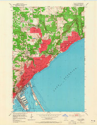
1953 Map of Duluth
USGS Topo · Published 1965About this map
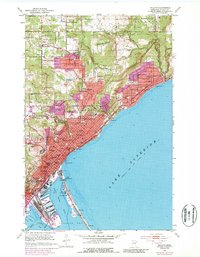
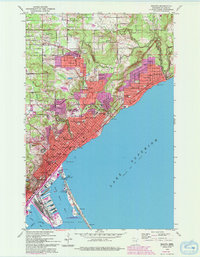
Lake Superior dominates the eastern edge of this mid-century portrait of Duluth, where the city’s complex infrastructure meets the steep North Shore topography. The map illustrates the intensive development of the harbor, from the Ship Canal and Duluth Harbor Basin to the sprawling rail yards of the Duluth Missabe and Iron Range. Moving inland from the waterfront, the residential fabric is punctuated by institutional landmarks such as St Scholastica College and the University of Minnesota Duluth Branch. The density of the city's early social infrastructure is evident in the numerous parochial and public schools, including Central High Sch and St Michaels Sch. Neighborhoods like Lester Park and Woodland show the upward expansion of the city away from the lake, while Minnesota Point stretches thin into the bay, hosting the Naval Reserve Sta and Lafayette Park.
Find a feature on this map
84 named features on this map. Tap any name to fly to it.
Don’t see what you’re looking for? This feature index may not catch every label — zoom into the map to look around manually.
Map Details
Editions of this 1953 Duluth Map
7 editions found
Other maps of this area

1895 · Duluth
USGS Topo · 1:62,500

1915 · Superior
USGS Topo · 1:48,000

1917 · Superior
USGS Topo · 1:62,500

1949 · Poplar
USGS Topo · 1:48,000

1953 · Lakewood
USGS Topo · 1:24,000

1953 · French River
USGS Topo · 1:24,000

1953 · Arnold
USGS Topo · 1:24,000

1953 · Duluth
USGS Topo · 1:24,000

1953 · Duluth Heights
USGS Topo · 1:24,000

1953 · Fredenberg
USGS Topo · 1:24,000