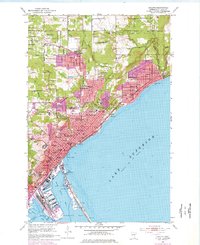
1953 Map of Duluth
USGS Topo · Published 1973About this map
Minnesota Point and the Ship Canal define the gateway to the Duluth waterfront, where the city's mid-century industrial and educational growth is clearly documented. Purple photorevisions from 1969 and 1975 highlight the physical expansion of the University of Minnesota Duluth Branch and the modernization of transit corridors like the Skyline Parkway. The map illustrates a dense network of local institutions, from the St. Scholastica College campus to several denominational schools and cemeteries including Adas Israel Cem and Tifereth Israel Cem. North and east of the urban core, neighborhoods like Lester Park and Hunters Park are carved into the terrain by the Lester River and Amity Creek, while the lakefront is characterized by significant infrastructure such as the Coast Guard Sta and Naval Reserve Sta serving Superior Bay.
Find a feature on this map
68 named features on this map. Tap any name to fly to it.
Don’t see what you’re looking for? This feature index may not catch every label — zoom into the map to look around manually.
Map Details
Editions of this 1953 Duluth Map
7 editions found
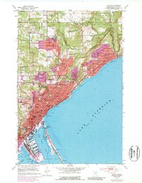
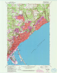
Other maps of this area

1895 · Duluth
USGS Topo · 1:62,500

1915 · Superior
USGS Topo · 1:48,000

1917 · Superior
USGS Topo · 1:62,500

1949 · Poplar
USGS Topo · 1:48,000

1953 · Lakewood
USGS Topo · 1:24,000

1953 · French River
USGS Topo · 1:24,000

1953 · Arnold
USGS Topo · 1:24,000

1953 · Duluth
USGS Topo · 1:24,000

1953 · Duluth Heights
USGS Topo · 1:24,000

1953 · Fredenberg
USGS Topo · 1:24,000