
1953 Map of French River
USGS Topo · Published 1955About this map
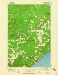
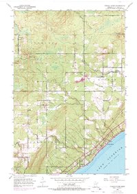
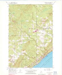
The rugged North Shore of Lake Superior dominates this mid-century survey, where the deep drainage basins of the Sucker River, French River, and Talmadge River cut through the timbered hills of St. Louis County. This era shows a transition between the old rural townships and the expanding industrial reach of the Duluth Missabe and Iron Range railroad. The map documents localized community hubs like the settlement of Bloomingdale, where the Bloomingdale Sch and Immanuel Ch served the surrounding farmsteads. To the north, the Normanna Cem and a Town Hall mark the civic center of Normanna, while lakeside life is anchored by Clifton and the fishing waters at the river mouths. Notable transportation arteries such as North Shore Drive and French River Rd provide the primary access to these lakeside communities before further modern development altered the landscape.
Find a feature on this map
28 named features on this map. Tap any name to fly to it.
Don’t see what you’re looking for? This feature index may not catch every label — zoom into the map to look around manually.
Map Details
Editions of this 1953 French River Map
4 editions found
Other maps of this area

1895 · Duluth
USGS Topo · 1:62,500

1953 · Lakewood
USGS Topo · 1:24,000

1953 · Arnold
USGS Topo · 1:24,000

1953 · Duluth
USGS Topo · 1:24,000

1953 · Knife River
USGS Topo · 1:24,000

1953 · Duluth
USGS Topo · 1:62,500

1953 · Ashland
USGS Topo · 1:250,000

1953 · Duluth
USGS Topo · 1:250,000

1954 · Barrs Lake
USGS Topo · 1:24,000

1954 · Thompson Lake
USGS Topo · 1:24,000