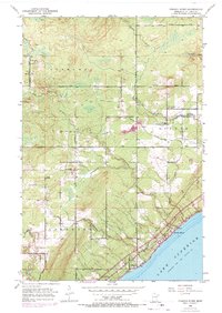
1953 Map of French River
USGS Topo · Published 1970About this map
The rocky North Shore of Lake Superior dominates the lower quadrant of this 1953 survey, where the Duluth Missabe and Iron Range railroad hugs the coast near Clifton. Inland, the landscape is defined by the steep-cut valleys of the French River, Sucker River, and Talmadge River as they descend toward the lake. This edition captures the rural settlement pattern of eastern Duluth and Normanna before modern suburbanization, centered around local institutions like Bloomingdale Sch, Immanuel Ch, and the Normanna Cem. Roadways such as Pioneer Road and Lismore Road provide access to the high ground above the lake, where a scattered network of small farms and clearings is visible. The presence of a Gravel Pit near Schmidt Creek and several Town Hall locations suggests a community focused on local timber and stone resources during the mid-twentieth century.
Find a feature on this map
22 named features on this map. Tap any name to fly to it.
Don’t see what you’re looking for? This feature index may not catch every label — zoom into the map to look around manually.
Map Details
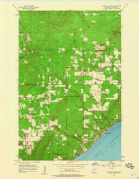
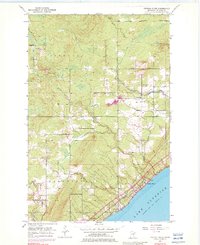
Editions of this 1953 French River Map
4 editions found
Other maps of this area

1895 · Duluth
USGS Topo · 1:62,500

1953 · Lakewood
USGS Topo · 1:24,000

1953 · French River
USGS Topo · 1:24,000

1953 · Arnold
USGS Topo · 1:24,000

1953 · Duluth
USGS Topo · 1:24,000

1953 · Knife River
USGS Topo · 1:24,000

1953 · Duluth
USGS Topo · 1:62,500

1953 · Ashland
USGS Topo · 1:250,000

1953 · Duluth
USGS Topo · 1:250,000

1954 · Barrs Lake
USGS Topo · 1:24,000