Old Maps of Duluth Township, Minnesota
Explore 34 old maps of Duluth Township, spanning from 1953 to today. These high-resolution historic maps reveal how streets, neighborhoods, landmarks, and natural features evolved over time — perfect for genealogy, metal detecting, research, and local history exploration.
What you can do with these maps:
- See how Duluth Township changed over time: Compare historical maps to modern-day views to trace roads, homesites, rail lines & more.
- View detailed metadata: Each map includes creators, publishers, year, scale, and archive source.
- Overlay maps with satellite & LiDAR: Visualize the past alongside modern tools to explore terrain & human change.
- Trusted historical sources: Maps sourced from the USGS, Library of Congress, and other archives.
- Access maps your way: View online, download high-res files, or order prints for personal or research use.
Start exploring old maps of Duluth Township to uncover forgotten places, hidden landmarks, and the deep history beneath your feet.
Duluth Township, MN maps
(34)- 1953 Map of French River, 1955 Print
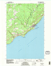
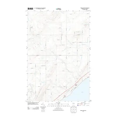
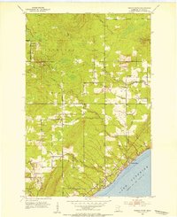 1953 French River1955 Print · USGSThe North Shore of Lake Superior comes alive in the early fifties as timberlands met the burgeoning iron-and-rail industry. Genealogists and local historians can trace the foundations of Bloomingdale, Normanna Cem, and the path of the Duluth Missabe and Iron Range railroad.4 unique versions available
 - 1953 Map of Knife River, 1955 Print
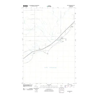
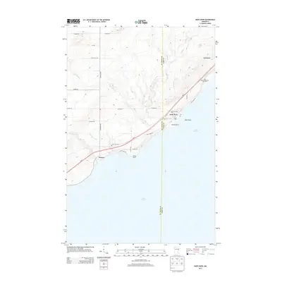
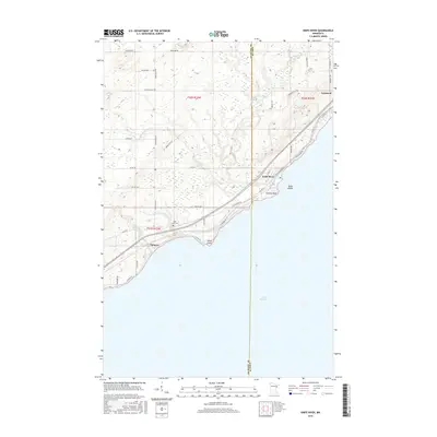
 1953 Knife River1955 Print · USGSThe Lake Superior shoreline comes alive in the mid-fifties as the railroad and old highway wind through coastal settlements. Researchers can trace the industrial corridor of the Duluth Missabe and Iron Range Railroad and locate local sites like Lake View Cem and Palmers.4 unique versions available
 - 1953 Map of Ashland, 1964 Print
 1953 Ashland1964 Print · USGSNorthern Wisconsin's lakefront and timberlands are seen here in the mid-1950s, showing the intersection of industrial rail lines and vast wilderness. Genealogists and historians can trace the Soo Line through rail towns like Mellen or locate family roots in the Apostle Islands and Bad River Indian Reservation.3 unique versions available
 - 1954 Map of Barrs Lake, 1955 Print
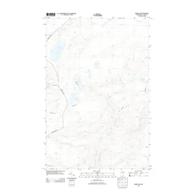
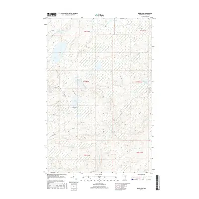
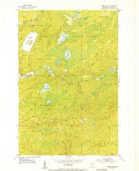 1954 Barrs Lake1955 Print · USGSSt. Louis County was a landscape of dense timber and glacial waters in the mid-fifties, just as rural patterns were changing. Genealogists and local historians can trace the upper Cloquet River and locate the site of School No 27 (Abandoned).4 unique versions available
 - 1954 Map of Mc Carthy Creek, 1955 Print
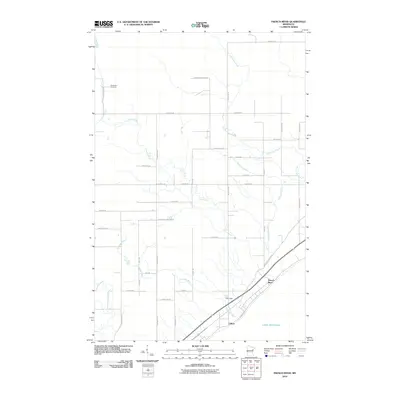
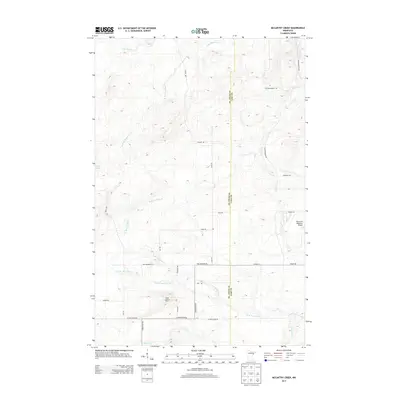
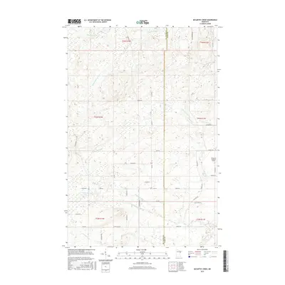
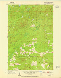 1954 Mc Carthy Creek1955 Print · USGSSt. Louis County was a landscape of dense state forests and timber transit in the mid-fifties. Genealogists and historians can trace local landmarks like Clover Valley Sch, the Molde Lookout Tower, and an Old Railroad Grade.3 unique versions available
 - 1954 Map of Two Harbors, 1964 Print
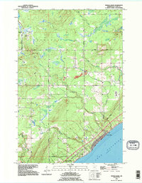
 1954 Two Harbors1964 Print · USGSThe Minnesota North Shore and Superior National Forest are shown here in the mid-fifties, just as the taconite industry was reshaping the coast. Genealogists and historians can trace the rail lines of the Duluth Missabe and Iron Range or locate remote outposts like Sawbill Landing and Section Thirty.2 unique versions available
 - 1957 Map of Two Harbors
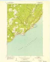
 1957 Two Harbors1957 Print · USGSMinnesota's North Shore and the Arrowhead region are shown here in the mid-fifties as the taconite industry and cold war defense shaped the landscape. Researchers can trace the Duluth Missabe and Iron Range railroad, locate the Split Rock Light, and explore the iron-mining era at Taconite.
 - 1958 Map of Ashland
 1958 Ashland1958 Print · USGSCoastal Wisconsin and the Michigan borderlands meet here in the late fifties, dominated by the timbered expanses and iron-rich ranges. Genealogists can trace family footprints in settlements like Odanah and Montreal, or locate landmarks such as the Coast Guard Station and Agricultural Experiment Station.
 - 1958 Map of Two Harbors
 1958 Two Harbors1958 Print · USGSThe North Shore and Arrowhead region of Minnesota are captured in the 1950s as iron ore shipping and wilderness preservation shaped the land. Researchers can trace the Duluth Missabe and Iron Range RR, find maritime landmarks like Split Rock Light, and locate remote settlements from Babbitt to Grand Marais.
 - 1964 Map of Two Harbors
 1964 Two Harbors1964 Print · USGSThe North Shore of Lake Superior is captured here during the mid-1950s, a time of significant industrial mining growth and emerging tourism. Genealogists and historians can trace the rail lines of the Duluth Missabe and Iron Range and locate landmarks like Split Rock Light and the U S Air Force Radar Station.
 - 1976 Map of Two Harbors, 1994 Print
 1976 Two Harbors1994 Print · USGSThe North Shore of Lake Superior comes alive in this mid-seventies survey of the Minnesota timber and iron country. Trace the Duluth Missabe and Iron Range RR from Two Harbors past Split Rock Lighthouse State Park to the industrial port at Silver Bay.
 - 1980 Map of Port Wing
 1980 Port Wing1980 Print · USGSThe Lake Superior shoreline and the deep forests of Bayfield and Douglas counties are captured here in the early eighties. Genealogists and historians can trace the rail lines through Iron River or locate the lakeside landings at Cornucopia and Port Wing.
 - 1992 Map of Knife River, 1995 Print
 1992 Knife River1995 Print · USGSThe Lake Superior shoreline northeast of Duluth is captured here in the early nineties, showing the transition from lakeside settlements to inland forest. Trace family sites near Palmers and the Lake View Cem, or follow the course of the Knife River to Granite Point.
 - 1992 Map of French River, 1995 Print
 1992 French River1995 Print · USGSThe North Shore of Lake Superior comes alive in the early 1990s as it transitions from the forested township of Normanna to the shoreline. Researchers can trace the coastal settlement of Clifton or locate the Normanna Cem and several vital waterways like the French River.
 - 2010 Map of Barrs Lake, 2010 Print
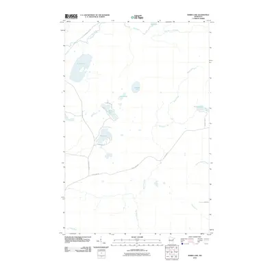 2010 Barrs Lake2010 Print · USGSCovers Duluth Township, including Normanna Township, North Star Township, and other nearby areas
 - 2010 Map of McCarthy Creek, 2010 Print
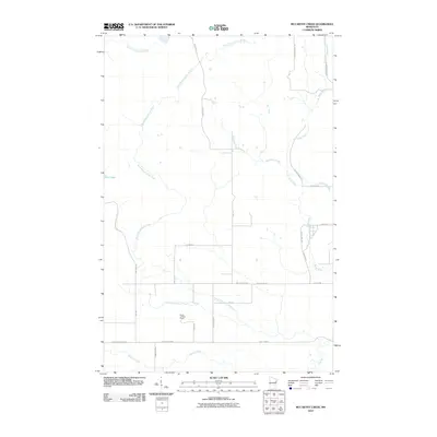 2010 McCarthy Creek2010 Print · USGSCovers Duluth Township, including Alden Township, Pequaywan Township, and other nearby areas
 - 2010 Map of Knife River, 2010 Print
 2010 Knife River2010 Print · USGSCovers Duluth Township, including Knife River, Palmers, and other nearby areas
 - 2010 Map of French River, 2010 Print
 2010 French River2010 Print · USGSCovers Duluth Township, including Duluth, Normanna Township, and other nearby areas
 - 2013 Map of Barrs Lake, 2013 Print
 2013 Barrs Lake2013 Print · USGSCovers Duluth Township, including Normanna Township, North Star Township, and other nearby areas
 - 2013 Map of McCarthy Creek, 2013 Print
 2013 McCarthy Creek2013 Print · USGSCovers Duluth Township, including Alden Township, Pequaywan Township, and other nearby areas
 - 2013 Map of Knife River, 2013 Print
 2013 Knife River2013 Print · USGSCovers Duluth Township, including Knife River, Palmers, and other nearby areas
 - 2013 Map of French River, 2013 Print
 2013 French River2013 Print · USGSCovers Duluth Township, including Duluth, Normanna Township, and other nearby areas
 - 2016 Map of Barrs Lake, 2016 Print
 2016 Barrs Lake2016 Print · USGSCovers Duluth Township, including Normanna Township, North Star Township, and other nearby areas
 - 2016 Map of McCarthy Creek, 2016 Print
 2016 McCarthy Creek2016 Print · USGSCovers Duluth Township, including Alden Township, Pequaywan Township, and other nearby areas
 - 2016 Map of Knife River, 2016 Print
 2016 Knife River2016 Print · USGSCovers Duluth Township, including Knife River, Palmers, and other nearby areas
Showing maps 1-25 of 34
Top cities near Duluth Township
- Duluth historical maps
- Superior historical maps
- Two Harbors historical maps
- Lakewood historical maps
- Cloverland historical maps
Top neighborhoods of Duluth Township
Frequently asked questions
- What are the different types of historical maps available for Duluth Township?
- What is the oldest map of Duluth Township?
- Where can I purchase historical maps of Duluth Township for my home or office?
- Where can I download high-res historical maps of Duluth Township?
- Are there historical topographic maps available for Duluth Township?
- Is there historical aerial imagery available for Duluth Township?
- Where are historical maps of Duluth Township sourced from?