2000s (21st Century) Maps of Duluth Township, Minnesota
Explore 20 historic maps of Duluth Township from the 2000s (21st Century). These maps offer a rare glimpse into what life looked like during the 2000s — showing old roads, neighborhoods, homes, and landmarks that have changed or disappeared over time.
Whether you're researching your family's past, planning a metal detecting trip, or studying how Duluth Township's landscape evolved across the 2000s, these high-resolution maps are a powerful tool for exploring the history of this region.
- Focus on a specific era: All maps on this page are from the 2000s, giving you a focused view of this time period.
- See what’s changed: Compare century-old streets, trails, and buildings to today's modern landscape using overlays and satellite layers.
- Research with precision: Use these maps for genealogy, historical research, land use analysis, or educational projects.
- View, download, or print: Maps are fully viewable online in high resolution, and can be downloaded or printed for your own records.
Start exploring Duluth Township's history through authentic maps from the 2000s. This is your window into the past.
Duluth Township, MN maps
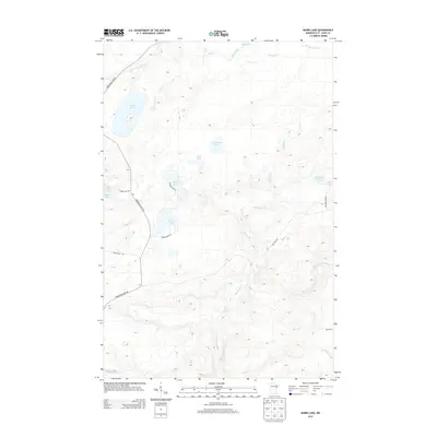
(20)- 2010 Map of Barrs Lake, 2010 Print
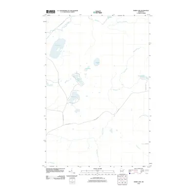 2010 Barrs Lake2010 Print · USGSCovers Duluth Township, including Normanna Township, North Star Township, and other nearby areas
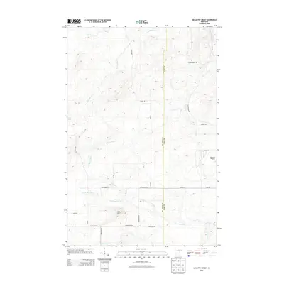
 - 2010 Map of McCarthy Creek, 2010 Print
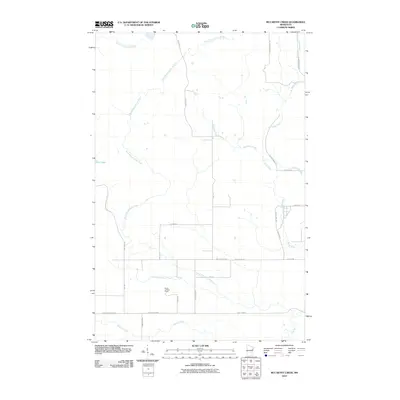 2010 McCarthy Creek2010 Print · USGSCovers Duluth Township, including Alden Township, Pequaywan Township, and other nearby areas
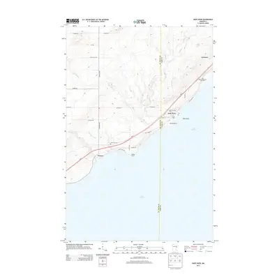
 - 2010 Map of Knife River, 2010 Print
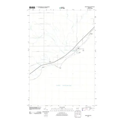 2010 Knife River2010 Print · USGSCovers Duluth Township, including Knife River, Palmers, and other nearby areas
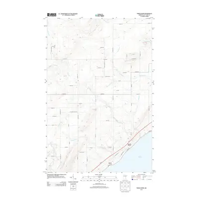
 - 2010 Map of French River, 2010 Print
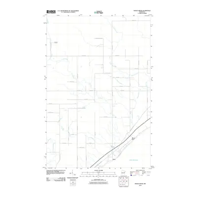 2010 French River2010 Print · USGSCovers Duluth Township, including Duluth, Normanna Township, and other nearby areas
 - 2013 Map of Barrs Lake, 2013 Print
 2013 Barrs Lake2013 Print · USGSCovers Duluth Township, including Normanna Township, North Star Township, and other nearby areas
 - 2013 Map of McCarthy Creek, 2013 Print
 2013 McCarthy Creek2013 Print · USGSCovers Duluth Township, including Alden Township, Pequaywan Township, and other nearby areas
 - 2013 Map of Knife River, 2013 Print
 2013 Knife River2013 Print · USGSCovers Duluth Township, including Knife River, Palmers, and other nearby areas
 - 2013 Map of French River, 2013 Print
 2013 French River2013 Print · USGSCovers Duluth Township, including Duluth, Normanna Township, and other nearby areas
 - 2016 Map of Barrs Lake, 2016 Print
 2016 Barrs Lake2016 Print · USGSCovers Duluth Township, including Normanna Township, North Star Township, and other nearby areas
 - 2016 Map of McCarthy Creek, 2016 Print
 2016 McCarthy Creek2016 Print · USGSCovers Duluth Township, including Alden Township, Pequaywan Township, and other nearby areas
 - 2016 Map of Knife River, 2016 Print
 2016 Knife River2016 Print · USGSCovers Duluth Township, including Knife River, Palmers, and other nearby areas
 - 2016 Map of French River, 2016 Print
 2016 French River2016 Print · USGSCovers Duluth Township, including Duluth, Normanna Township, and other nearby areas
 - 2019 Map of Knife River, 2019 Print
 2019 Knife River2019 Print · USGSCovers Duluth Township, including Knife River, Palmers, and other nearby areas
 - 2019 Map of French River, 2019 Print
 2019 French River2019 Print · USGSCovers Duluth Township, including Duluth, Normanna Township, and other nearby areas
 - 2019 Map of McCarthy Creek, 2019 Print
 2019 McCarthy Creek2019 Print · USGSCovers Duluth Township, including Alden Township, Pequaywan Township, and other nearby areas
 - 2019 Map of Barrs Lake, 2019 Print
 2019 Barrs Lake2019 Print · USGSCovers Duluth Township, including Normanna Township, North Star Township, and other nearby areas
 - 2022 Map of Knife River, 2022 Print
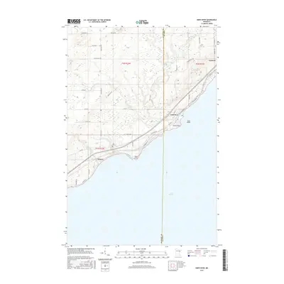
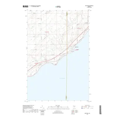
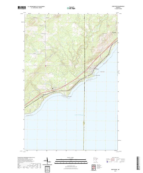 2022 Knife River2022 Print · USGSThe North Shore comes alive in this contemporary view of the Lake Superior coastline between Palmers and Larsmont. Genealogists and historians can trace local landmarks like Lake View Cem and coastal features including Stony Point and Knife Island.
 - 2022 Map of French River, 2022 Print
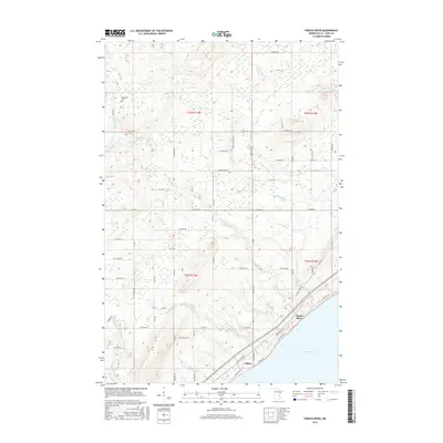
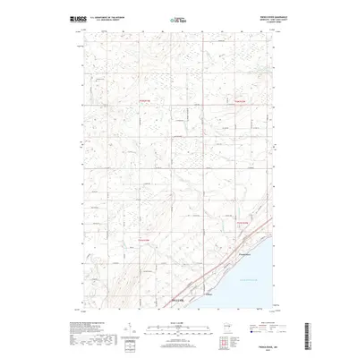
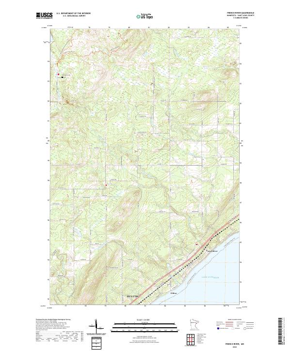 2022 French River2022 Print · USGSThe North Shore of Lake Superior comes into focus in this contemporary study of the transition from Duluth's suburbs to rural St. Louis County. Researchers can trace the coastal corridor from Clifton to French River or locate the inland Normanna Cem.
 - 2022 Map of Barrs Lake, 2022 Print
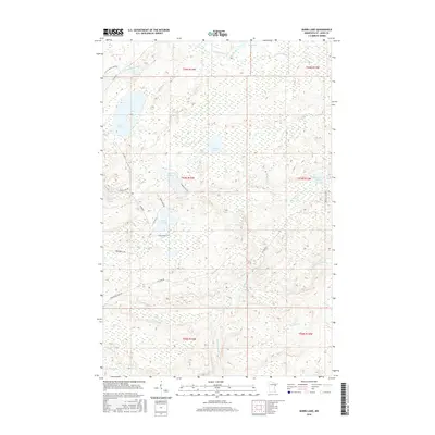
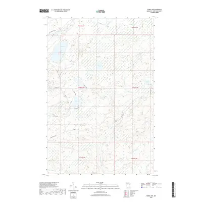
 2022 Barrs Lake2022 Print · USGSSt. Louis County's lake-rich backcountry is captured here in the early 2020s, showing a landscape of deep woods and interconnected wetlands. Researchers can trace rural access along Fox Farm Rd to remote waters like Esswhtar Lake and the headwaters of the French River.
 - 2022 Map of McCarthy Creek, 2022 Print
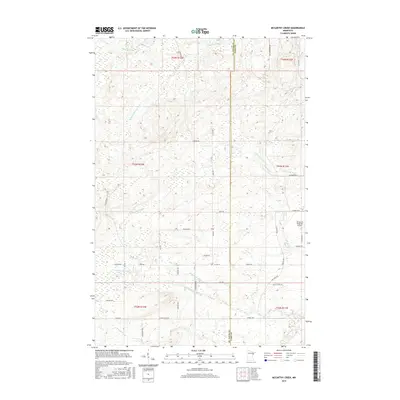
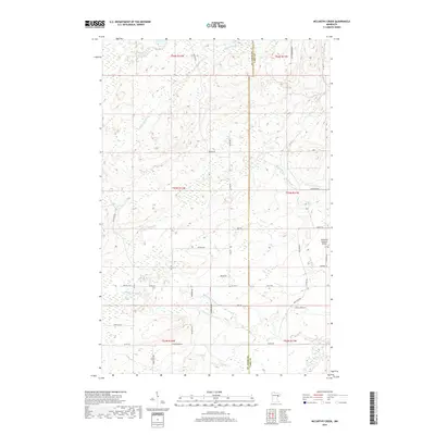
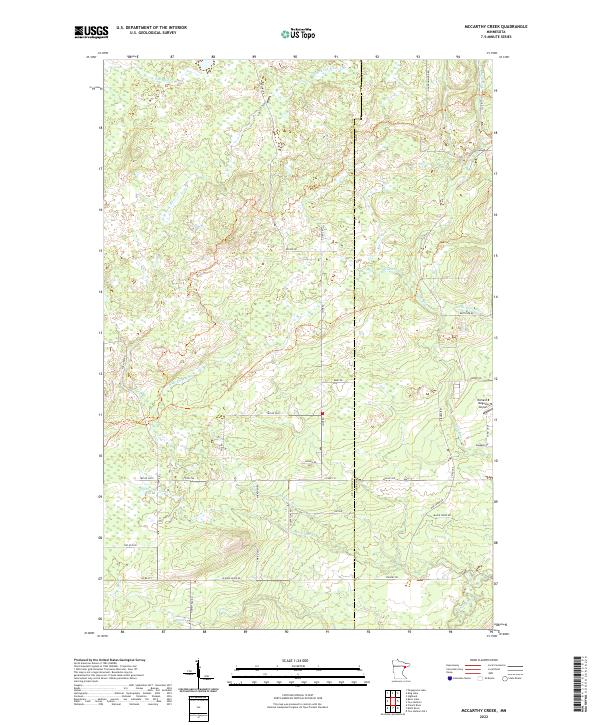 2022 McCarthy Creek2022 Print · USGSThe northern forests of St. Louis and Lake County are shown here in the early twenty-first century, featuring the headwaters of the Knife River. Researchers can trace old timber and access routes like Old Drummond Rd or locate the Richard B Helgeson Airport.
End of results
Showing maps 1-20 of 20
Top cities near Duluth Township
- Duluth historical maps
- Superior historical maps
- Two Harbors historical maps
- Lakewood historical maps
- Cloverland historical maps
Top neighborhoods of Duluth Township
Frequently asked questions
- What are the different types of historical maps available for Duluth Township?
- What is the oldest map of Duluth Township?
- Where can I purchase historical maps of Duluth Township for my home or office?
- Where can I download high-res historical maps of Duluth Township?
- Are there historical topographic maps available for Duluth Township?
- Is there historical aerial imagery available for Duluth Township?
- Where are historical maps of Duluth Township sourced from?