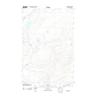
2013 Map of Barrs Lake
USGS Topo · Published 2013About this map
The Little Cloquet River winds through the northern reaches of this landscape, anchoring a drainage system that includes Mud Creek and its southern branch. This territory in Normanna Township is defined by its dense network of glacial lakes and intermittent streams, where Barrs Lake and Esswhtar Lake sit amidst a complex topography of low ridges and wetlands. The southern portion of the quadrangle is marked by the headwaters of the French River and the meandering paths of Big Sucker Cr and Captain Jacobson Cr.
Find a feature on this map
26 named features on this map. Tap any name to fly to it.
Don’t see what you’re looking for? This feature index may not catch every label — zoom into the map to look around manually.
Map Details
Editions of this 2013 Barrs Lake Map
This is the sole edition of this map. No revisions or reprints were ever made.
Other maps of this area

1895 · Duluth
USGS Topo · 1:62,500

1953 · French River
USGS Topo · 1:24,000

1953 · Arnold
USGS Topo · 1:24,000

1953 · Knife River
USGS Topo · 1:24,000

1953 · Duluth
USGS Topo · 1:62,500

1953 · Ashland
USGS Topo · 1:250,000

1953 · Duluth
USGS Topo · 1:250,000

1954 · Barrs Lake
USGS Topo · 1:24,000

1954 · Thompson Lake
USGS Topo · 1:24,000

1954 · Mc Carthy Creek
USGS Topo · 1:24,000