
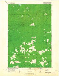
1954 Map of Mc Carthy Creek
USGS Topo · Published 1955About this map
The Cloquet Valley State Forest dominates this mid-century landscape on the boundary of St. Louis and Lake Counties. This area, primarily within the townships of Alden and Duluth, reveals a remote woodland geography transition where timber and early transportation intersected. Notable markers of local civic life include the Town Hall and Clover Valley Sch, while the Molde Lookout Tower stands on a high point overlooking the dense network of tributaries feeding the Knife River.
Find a feature on this map
18 named features on this map. Tap any name to fly to it.
Don’t see what you’re looking for? This feature index may not catch every label — zoom into the map to look around manually.
Map Details
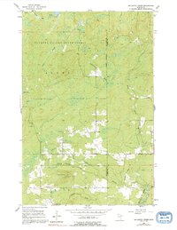
Editions of this 1954 Mc Carthy Creek Map
3 editions found
Other maps of this area

1953 · French River
USGS Topo · 1:24,000

1953 · Knife River
USGS Topo · 1:24,000

1953 · Ashland
USGS Topo · 1:250,000

1954 · Barrs Lake
USGS Topo · 1:24,000

1954 · Two Harbors
USGS Topo · 1:250,000

1956 · Pequaywan Lake
USGS Topo · 1:24,000

1956 · King Lake
USGS Topo · 1:24,000

1957 · Two Harbors
USGS Topo · 1:250,000

1957 · Two Harbors
USGS Topo · 1:62,500

1957 · Two Harbors
USGS Topo · 1:24,000