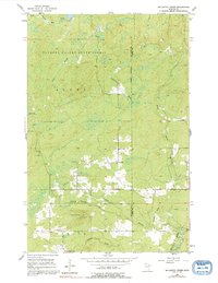
1954 Map of Mc Carthy Creek
USGS Topo · Published 1992About this map
The Cloquet Valley State Forest dominates this northern landscape, where the town limits of Alden and Duluth meet along the boundary of St Louis and Lake counties. Heavily forested and punctuated by wetlands, the area is defined by the winding paths of the Knife River, McCarthy Creek, and Stanley Creek. While the terrain remains largely undeveloped, human activity is marked by an Old Railroad Grade and Holmstead Road, indicating early timber or transport routes through the woods.
Find a feature on this map
16 named features on this map. Tap any name to fly to it.
Don’t see what you’re looking for? This feature index may not catch every label — zoom into the map to look around manually.
Map Details
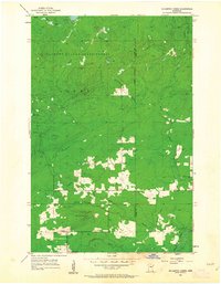
Editions of this 1954 Mc Carthy Creek Map
3 editions found
Other maps of this area

1953 · French River
USGS Topo · 1:24,000

1953 · Knife River
USGS Topo · 1:24,000

1953 · Ashland
USGS Topo · 1:250,000

1954 · Barrs Lake
USGS Topo · 1:24,000

1954 · Mc Carthy Creek
USGS Topo · 1:24,000

1954 · Two Harbors
USGS Topo · 1:250,000

1956 · Pequaywan Lake
USGS Topo · 1:24,000

1956 · King Lake
USGS Topo · 1:24,000

1957 · Two Harbors
USGS Topo · 1:250,000

1957 · Two Harbors
USGS Topo · 1:62,500