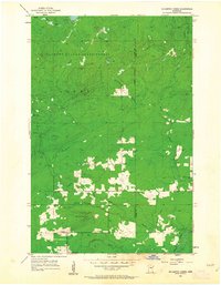
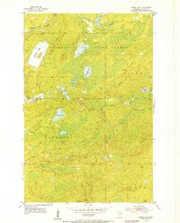
1954 Map of Mc Carthy Creek
USGS Topo · Published 1963About this map
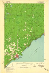
Cloquet Valley State Forest dominates the northern half of this mid-century landscape on the border of St. Louis and Lake Counties. The map reveals a transition from the dense woodlands of the state forest to the emerging clearings and rural infrastructure of Alden and Duluth townships in the south. Evidence of the region's logging and development history is visible in the network of watercourses, including McCarthy Creek and the West Branch Knife River.
Find a feature on this map
17 named features on this map. Tap any name to fly to it.
Don’t see what you’re looking for? This feature index may not catch every label — zoom into the map to look around manually.
Map Details
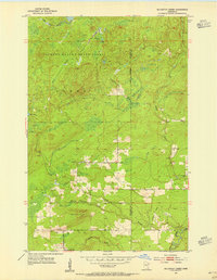
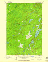
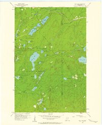
Editions of this 1954 Mc Carthy Creek Map
3 editions found
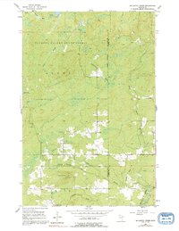
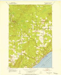
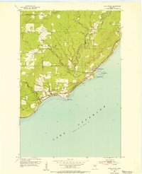
Other maps of this area
1953 · French River
USGS Topo · 1:24,000
1953 · Knife River
USGS Topo · 1:24,000

1953 · Ashland
USGS Topo · 1:250,000
1954 · Barrs Lake
USGS Topo · 1:24,000
1954 · Mc Carthy Creek
USGS Topo · 1:24,000

1954 · Two Harbors
USGS Topo · 1:250,000
1956 · Pequaywan Lake
USGS Topo · 1:24,000
1956 · King Lake
USGS Topo · 1:24,000

1957 · Two Harbors
USGS Topo · 1:250,000
1957 · Two Harbors
USGS Topo · 1:62,500