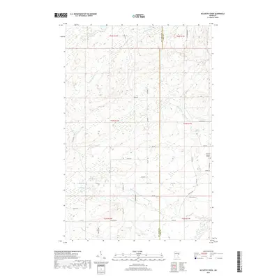
2019 Map of McCarthy Creek
USGS Topo · Published 2019About this map
W Br Knife River and its numerous tributaries, including McCarthy Cr and Little Knife River, define the hydrology of this landscape in eastern Minnesota. The 2019 survey documents a rural area characterized by its network of township and county roads that follow the grid system of the public land surveys. While much of the terrain is defined by the natural drainage of Captain Jacobson Cr and Stanley Cr, localized infrastructure like the Richard B Helgeson Airport indicates modern transportation development amidst the forest and wetlands. The map traces historical transit corridors such as Old Drummond Rd and Rossini Rd, providing a detailed look at the rural settlement patterns in Alden Township and the surrounding areas of St. Louis and Lake Counties.
Find a feature on this map
47 named features on this map. Tap any name to fly to it.
Don’t see what you’re looking for? This feature index may not catch every label — zoom into the map to look around manually.
Map Details
Editions of this 2019 McCarthy Creek Map
This is the sole edition of this map. No revisions or reprints were ever made.
Other maps of this area

1953 · French River
USGS Topo · 1:24,000

1953 · Knife River
USGS Topo · 1:24,000

1953 · Ashland
USGS Topo · 1:250,000

1954 · Barrs Lake
USGS Topo · 1:24,000

1954 · Mc Carthy Creek
USGS Topo · 1:24,000

1954 · Two Harbors
USGS Topo · 1:250,000

1956 · Pequaywan Lake
USGS Topo · 1:24,000

1956 · King Lake
USGS Topo · 1:24,000

1957 · Two Harbors
USGS Topo · 1:250,000

1957 · Two Harbors
USGS Topo · 1:62,500