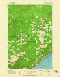
1953 Map of French River
USGS Topo · Published 1960About this map
The rugged shoreline of Lake Superior dominates the southeastern edge of this 1950s survey, where the Duluth Missabe and Iron Range railroad tracks and Shore Road trace the coast through French River and Clifton. Inland, the landscape transitions into a network of township lands across Normanna and Lakewood, defined by a series of parallel watercourses including the Sucker River, Schmidt Creek, and Talmadge River flowing toward the lake. Rural infrastructure is well-marked, featuring the Bloomingdale Sch, Immanuel Ch, and several Town Hall locations that served as community anchors for the scattered homesteads. The transport pattern reveals a transition from the established lakefront corridor to developing interior routes like Pioneer Road and Lakewood Road, providing a clear record of mid-century settlement expansion north of the Duluth city boundary.
Find a feature on this map
29 named features on this map. Tap any name to fly to it.
Don’t see what you’re looking for? This feature index may not catch every label — zoom into the map to look around manually.
Map Details
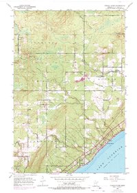
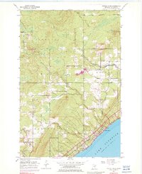
Editions of this 1953 French River Map
4 editions found
Other maps of this area

1895 · Duluth
USGS Topo · 1:62,500

1953 · Lakewood
USGS Topo · 1:24,000

1953 · French River
USGS Topo · 1:24,000

1953 · Arnold
USGS Topo · 1:24,000

1953 · Duluth
USGS Topo · 1:24,000

1953 · Knife River
USGS Topo · 1:24,000

1953 · Duluth
USGS Topo · 1:62,500

1953 · Ashland
USGS Topo · 1:250,000

1953 · Duluth
USGS Topo · 1:250,000

1954 · Barrs Lake
USGS Topo · 1:24,000